
1915 Map of Big Bar and Vicinity
USGS Topo · Published 1915About this map
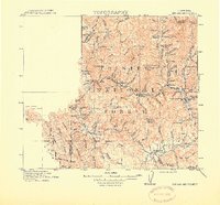
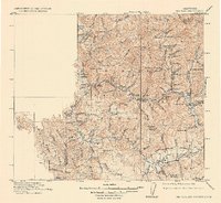
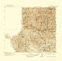
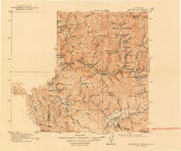
The Trinity River and its complex network of tributaries define this 1915 survey of the Trinity National Forest. The map documents a rugged landscape punctuated by mining camps and remote outposts such as Big Bar, Junction City, and Canyon City. The convergence of New River and the Trinity River shows the historical concentration of settlements along these water routes, while isolated locations like Keystone Cabin and Blue Ridge Camp suggest the transient nature of mountain life in this era. To the south, the village of Hyampom sits at the confluence of several creeks, while Hay Fork serves as a southern hub. Notable landmarks like the Natural Bridge and high peaks including Ironside Mtn and Hay Fork Baldy provide clear topographic reference points. The boundary between Humboldt County and Trinity County is clearly delineated across the western ridges, illustrating the jurisdictional divide in this high-country terrain.
Find a feature on this map
91 named features on this map. Tap any name to fly to it.
Don’t see what you’re looking for? This feature index may not catch every label — zoom into the map to look around manually.
Map Details
Editions of this 1915 Big Bar and Vicinity Map
5 editions found
Other maps of this area

1886 · Shasta
USGS Topo · 1:250,000

1890 · Red Bluff
USGS Topo · 1:250,000

1894 · Red Bluff
USGS Topo · 1:250,000

1894 · Shasta
USGS Topo · 1:250,000

1909 · Big Bar
USGS Topo · 1:96,000

1913 · Weaverville
USGS Topo · 1:125,000

1914 · Pilot Creek
USGS Topo · 1:62,500

1918 · Anada
USGS Topo · 1:62,500

1921 · Dyerville
USGS Topo · 1:62,500

1922 · Korbel
USGS Topo · 1:62,500