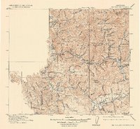
1915 Map of Big Bar and Vicinity
USGS Topo · Published 1930About this map
Trinity National Forest dominates the interior of Northern California in this early twentieth-century survey, revealing a landscape defined by isolated settlements and a complex web of mountain drainages. The Hay Fork River and Canyon Creek systems serve as the primary corridors for development, linking small outposts like Hay Fork and Hyampom with more established mining and transport hubs such as Junction City and Helena. High-altitude cabins and camps like Keystone Cabin and Stove Camp indicate the seasonal rhythms of forestry and prospecting within the rugged terrain.
Find a feature on this map
95 named features on this map. Tap any name to fly to it.
Don’t see what you’re looking for? This feature index may not catch every label — zoom into the map to look around manually.
Map Details
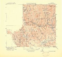
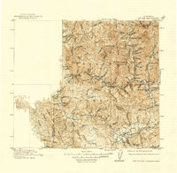
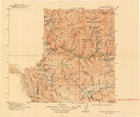
Editions of this 1915 Big Bar and Vicinity Map
5 editions found
Other maps of this area

1886 · Shasta
USGS Topo · 1:250,000

1890 · Red Bluff
USGS Topo · 1:250,000

1894 · Red Bluff
USGS Topo · 1:250,000

1894 · Shasta
USGS Topo · 1:250,000

1909 · Big Bar
USGS Topo · 1:96,000

1913 · Weaverville
USGS Topo · 1:125,000

1914 · Pilot Creek
USGS Topo · 1:62,500

1915 · Big Bar and Vicinity
USGS Topo · 1:250,000

1918 · Anada
USGS Topo · 1:62,500

1921 · Dyerville
USGS Topo · 1:62,500