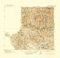
1915 Map of Big Bar and Vicinity
USGS Topo · Published 1939About this map
The Trinity River and its major tributaries carve through the heart of the Trinity National Forest in this early twentieth-century survey of Northern California. Mining and frontier outposts such as Dedrick, Coleridge, and Canyon City are concentrated in the steep drainages of the northeast, where Canyon Creek and the North Fork Trinity River create complex topography. The map documents a rugged landscape defined by high peaks like Ironside Mtn and Twin Sisters Mtn, alongside specialized camps like Stove Camp and Blue Ridge Post Camp.
Find a feature on this map
66 named features on this map. Tap any name to fly to it.
Don’t see what you’re looking for? This feature index may not catch every label — zoom into the map to look around manually.
Map Details
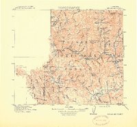
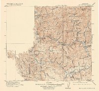
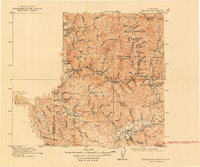
Editions of this 1915 Big Bar and Vicinity Map
5 editions found
Other maps of this area

1886 · Shasta
USGS Topo · 1:250,000

1890 · Red Bluff
USGS Topo · 1:250,000

1894 · Red Bluff
USGS Topo · 1:250,000

1894 · Shasta
USGS Topo · 1:250,000

1909 · Big Bar
USGS Topo · 1:96,000

1913 · Weaverville
USGS Topo · 1:125,000

1914 · Pilot Creek
USGS Topo · 1:62,500

1915 · Big Bar and Vicinity
USGS Topo · 1:250,000

1918 · Anada
USGS Topo · 1:62,500

1921 · Dyerville
USGS Topo · 1:62,500