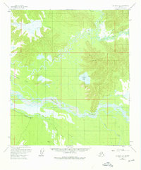
1955 Map of Big Delta A-3
USGS Topo · Published 1976About this map
The Tanana River and its massive braided channel dominate this interior Alaska landscape, captured during a period of extensive aerial surveying in the mid-1950s. The convergence of the Gerstle River from the south and the Goodpaster River from the north creates a complex network of waterways, including the winding Liscum Slough and the expansive Goodpaster Flats.
Find a feature on this map
20 named features on this map. Tap any name to fly to it.
Don’t see what you’re looking for? This feature index may not catch every label — zoom into the map to look around manually.
Map Details
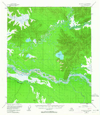
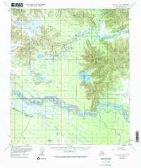
Editions of this 1955 Big Delta A-3 Map
4 editions found

Other maps of this area

1950 · Mount Hayes
USGS Topo · 1:250,000

1950 · Big Delta
USGS Topo · 1:250,000

1950 · Mount Hayes D-4
USGS Topo · 1:63,360

1950 · Big Delta A-4
USGS Topo · 1:63,360

1950 · Big Delta B-4
USGS Topo · 1:63,360

1951 · Big Delta
USGS Topo · 1:250,000

1951 · Mount Hayes
USGS Topo · 1:250,000

1952 · Mount Hayes D-4
USGS Topo · 1:63,360

1952 · Big Delta A-4
USGS Topo · 1:63,360

1953 · Big Delta B-4
USGS Topo · 1:63,360