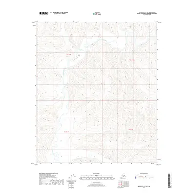
2018 Map of Big Delta B-2 NW
USGS Topo · Published 2018About this map
The Goodpaster River winds through the interior Alaskan wilderness of the Southeast Fairbanks Census Area, creating a complex drainage network with tributaries like Indian Cr and Central Cr. This 2018 survey captures the region's intersection of natural waterways and industrial infrastructure, most notably the Pogo Mine Airstrip located in the northern portion of the quadrangle. The terrain is defined by dramatic elevation changes, with the river valleys providing the primary navigable corridors through an otherwise inaccessible landscape. The lack of traditional roads underscores the importance of aviation and water routes for regional access, while the presence of the airstrip highlights the specific footprint of the mining industry within the t5s r14e and t5s r15e townships.
Find a feature on this map
9 named features on this map. Tap any name to fly to it.
Don’t see what you’re looking for? This feature index may not catch every label — zoom into the map to look around manually.
Map Details
Editions of this 2018 Big Delta B-2 NW Map
This is the sole edition of this map. No revisions or reprints were ever made.
Other maps of this area

1950 · Big Delta
USGS Topo · 1:250,000

1951 · Big Delta
USGS Topo · 1:250,000

1958 · Big Delta B-3
USGS Topo · 1:63,360

1958 · Big Delta C-3
USGS Topo · 1:63,360

1958 · Big Delta B-2
USGS Topo · 1:63,360

1958 · Big Delta C-2
USGS Topo · 1:63,360

1958 · Big Delta
USGS Topo · 1:250,000
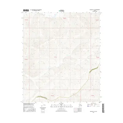
2016 · Big Delta C-3 SE
USGS Topo · 1:25,000
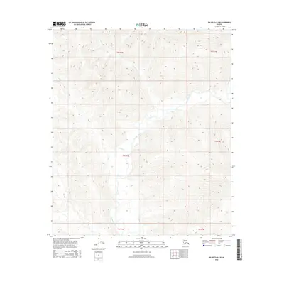
2016 · Big Delta B-3 SE
USGS Topo · 1:25,000
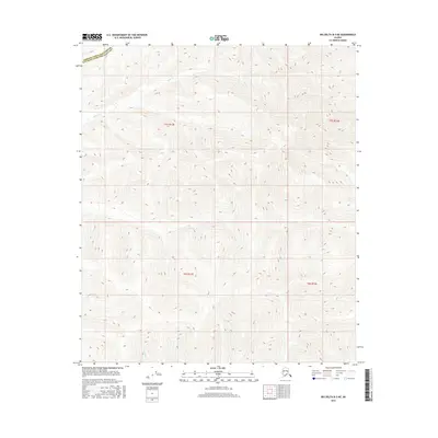
2016 · Big Delta B-3 NE
USGS Topo · 1:25,000