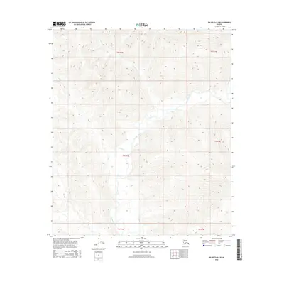
2016 Map of Big Delta B-3 SE
USGS Topo · Published 2016About this map
The Goodpaster River winds through the heart of this interior Alaskan landscape, serving as the primary drainage for a network of tributary creeks including Sevenmile Cr and Tenmile Cr. This 2016 survey documents the remote terrain within the Unorganized Borough, where the absence of roads or permanent settlements underscores the region's wilderness character. The complex topographic contours reveal a series of elevated ridges and deep valleys that define the watershed, with Sand Cr draining the southwestern portion of the map. This study is essential for understanding the natural hydrology and elevation patterns of the Big Delta region before any potential modern development or environmental shifts.
Find a feature on this map
10 named features on this map. Tap any name to fly to it.
Don’t see what you’re looking for? This feature index may not catch every label — zoom into the map to look around manually.
Map Details
Editions of this 2016 Big Delta B-3 SE Map
This is the sole edition of this map. No revisions or reprints were ever made.
Other maps of this area

1950 · Big Delta
USGS Topo · 1:250,000

1951 · Big Delta
USGS Topo · 1:250,000

1954 · Big Delta A-2
USGS Topo · 1:63,360

1955 · Big Delta A-3
USGS Topo · 1:63,360

1955 · Big Delta A-2
USGS Topo · 1:63,360

1958 · Big Delta B-3
USGS Topo · 1:63,360

1958 · Big Delta B-2
USGS Topo · 1:63,360

1958 · Big Delta
USGS Topo · 1:250,000
2016 · Big Delta A-3 NW
USGS Topo · 1:25,000
2016 · Big Delta B-3 NE
USGS Topo · 1:25,000