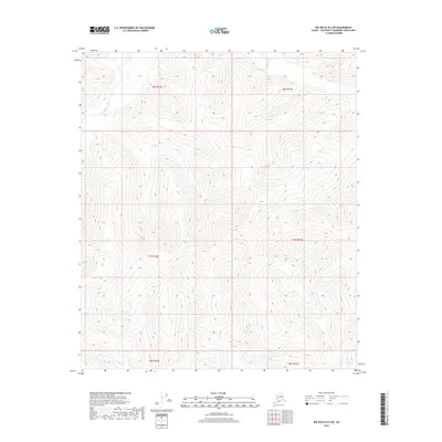
2018 Map of Big Delta B-2 SW
USGS Topo · Published 2018About this map
The Goodpaster River winds through the northwestern corner of this remote Alaskan interior landscape, a region defined by high ridgelines and the headwaters of numerous mountain streams. This 2018 survey reveals a terrain largely untouched by modern road networks, dominated instead by the natural drainage systems of Central Cr and Big Swede Cr. The geography is organized by the Public Land Survey System grids, including t7s r15e and t6s r14e, which provide the only human-imposed framework over the undulating topography. White Cr and other small tributaries carve deep into the slopes, illustrating the complex hydrography of the Southeast Fairbanks Census Area. For those studying the wilderness reaches of the Alaskan interior, this map provides a precise view of the landforms and watercourses that shape this unorganized borough before they reach more established settlements.
Find a feature on this map
10 named features on this map. Tap any name to fly to it.
Don’t see what you’re looking for? This feature index may not catch every label — zoom into the map to look around manually.
Map Details
Editions of this 2018 Big Delta B-2 SW Map
This is the sole edition of this map. No revisions or reprints were ever made.
Other maps of this area

1950 · Big Delta
USGS Topo · 1:250,000

1951 · Big Delta
USGS Topo · 1:250,000

1954 · Big Delta A-2
USGS Topo · 1:63,360

1955 · Big Delta A-3
USGS Topo · 1:63,360

1955 · Big Delta A-2
USGS Topo · 1:63,360

1958 · Big Delta B-3
USGS Topo · 1:63,360

1958 · Big Delta B-2
USGS Topo · 1:63,360

1958 · Big Delta
USGS Topo · 1:250,000
2016 · Big Delta B-3 SE
USGS Topo · 1:25,000
2016 · Big Delta B-3 NE
USGS Topo · 1:25,000