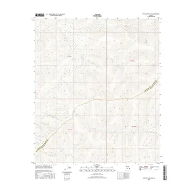
2016 Map of Big Delta B-4 NW
USGS Topo · Published 2016About this map
Flat Cr and McCoy Cr drain through this unorganized region of the Alaskan interior, where the landscape is defined by its drainages rather than its roads. The terrain is marked by the Fairbanks North Star Borough Southeast Fairbanks Census Area boundary, which cuts across the high ground and creek valleys. This 2016 survey shows a territory largely shaped by natural waterways like Gilles Cr, with surveyor-designated township and range lines such as t5s r9e and t6s r10e providing the primary human structure to the landscape. For the researcher, the map documents the raw topography of the interior before any major development or infrastructure, tracing the exact paths of the creeks through the wilderness.
Find a feature on this map
8 named features on this map. Tap any name to fly to it.
Don’t see what you’re looking for? This feature index may not catch every label — zoom into the map to look around manually.
Map Details
Editions of this 2016 Big Delta B-4 NW Map
This is the sole edition of this map. No revisions or reprints were ever made.
Other maps of this area

1949 · Big Delta B-5
USGS Topo · 1:63,360

1950 · Big Delta
USGS Topo · 1:250,000

1950 · Big Delta B-4
USGS Topo · 1:63,360

1951 · Big Delta
USGS Topo · 1:250,000

1952 · Big Delta B-5
USGS Topo · 1:63,360

1953 · Big Delta B-4
USGS Topo · 1:63,360

1958 · Big Delta C-5
USGS Topo · 1:63,360

1958 · Big Delta C-4
USGS Topo · 1:63,360

1958 · Big Delta
USGS Topo · 1:250,000
2016 · Big Delta B-4 SE
USGS Topo · 1:25,000