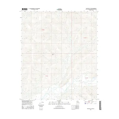
2016 Map of Big Delta C-4 NW
USGS Topo · Published 2016About this map
The Salcha River meanders across the southern portion of this interior Alaskan landscape, defining the local drainage system alongside its tributaries. Rising above the river valley, Marshall Mtn serves as a prominent landmark within the northern reaches of the Tanana Valley watershed. This 2016 survey captures the area's intricate network of waterways, including the headwaters of Butte Cr and Deep Cr, which flow through the marshy lowlands before reaching the larger river systems. In the north, the S Fork Chena River cuts through the higher elevations, illustrating the divide between the Chena and Salcha basins. The map provides a precise view of the Public Land Survey System grids, specifically within t2s r9e and surrounding townships, showing the intersection of terrain and administrative boundaries in this undeveloped region of the Fairbanks North Star Borough.
Find a feature on this map
9 named features on this map. Tap any name to fly to it.
Don’t see what you’re looking for? This feature index may not catch every label — zoom into the map to look around manually.
Map Details
Editions of this 2016 Big Delta C-4 NW Map
This is the sole edition of this map. No revisions or reprints were ever made.
Other maps of this area

1950 · Big Delta
USGS Topo · 1:250,000

1951 · Big Delta
USGS Topo · 1:250,000

1958 · Big Delta C-5
USGS Topo · 1:63,360

1958 · Big Delta D-5
USGS Topo · 1:63,360

1958 · Big Delta C-4
USGS Topo · 1:63,360

1958 · Big Delta D-4
USGS Topo · 1:63,360

1958 · Big Delta
USGS Topo · 1:250,000
2016 · Big Delta D-4 SE
USGS Topo · 1:25,000
2016 · Big Delta C-4 SW
USGS Topo · 1:25,000
2016 · Big Delta C-5 NE
USGS Topo · 1:25,000