
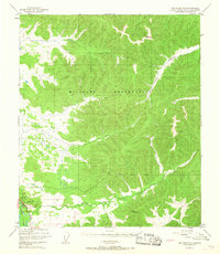
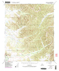
1949 Map of Big Delta C-6
USGS Topo · Published 1958About this map
The Tanana River cuts through the southwestern corner of this interior Alaska territory, where the early infrastructure of the U S Military Reservation at Eielson Air Force Base began to take shape. This 1949 survey illustrates the intersection of military expansion and the existing transportation corridor along the Richardson Highway. The landscape is dominated by high ridges and drainage networks, with Moose Creek and French Creek carving through the northern and central terrain while the Little Salcha River flows across the southern reaches. Survey markers like VABM Seven 2566 and VABM Canyon 1831 provide specific elevation points within the complex topography of the Alaska-Fourth Judicial Division, offering a detailed look at the region before modern development altered these remote drainages.
Find a feature on this map
13 named features on this map. Tap any name to fly to it.
Don’t see what you’re looking for? This feature index may not catch every label — zoom into the map to look around manually.
Map Details
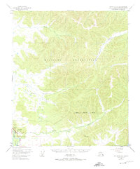
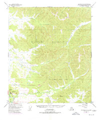
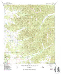
Editions of this 1949 Big Delta C-6 Map
6 editions found
Other maps of this area

1949 · Fairbanks D-1
USGS Topo · 1:62,500

1949 · Big Delta B-5
USGS Topo · 1:63,360

1949 · Big Delta B-6
USGS Topo · 1:63,360

1949 · Fairbanks C-1
USGS Topo · 1:63,360

1950 · Fairbanks
USGS Topo · 1:250,000

1950 · Big Delta
USGS Topo · 1:250,000

1950 · Big Delta D-6
USGS Topo · 1:63,360

1950 · Fairbanks C-1
USGS Topo · 1:63,360

1950 · Fairbanks B-1
USGS Topo · 1:63,360

1951 · Big Delta
USGS Topo · 1:250,000