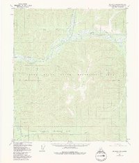
1958 Map of Big Delta D-5
USGS Topo · Published 1992About this map
The Chena River and its complex network of forks and creeks dominate this interior Alaskan landscape during the mid-20th century. The area is defined by the convergence of the Middle Fork and the South Fork Chena River, with several remote cabins and even a site of Ruins documented along the southern waterways. The map illustrates a transitional period in land management, showing the early boundaries of the Chena River State Recreation Area alongside the expansive Yukon Command Training Site.
Find a feature on this map
25 named features on this map. Tap any name to fly to it.
Don’t see what you’re looking for? This feature index may not catch every label — zoom into the map to look around manually.
Map Details
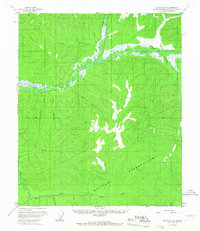
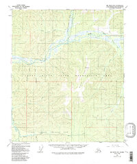
Editions of this 1958 Big Delta D-5 Map
4 editions found

Other maps of this area

1949 · Big Delta C-6
USGS Topo · 1:63,360

1950 · Big Delta
USGS Topo · 1:250,000

1950 · Big Delta D-6
USGS Topo · 1:63,360

1951 · Big Delta
USGS Topo · 1:250,000

1951 · Circle
USGS Topo · 1:250,000

1951 · Circle A-5
USGS Topo · 1:63,360

1952 · Big Delta C-6
USGS Topo · 1:63,360

1952 · Big Delta D-6
USGS Topo · 1:63,360

1952 · Circle A-4
USGS Topo · 1:63,360

1952 · Circle A-5
USGS Topo · 1:63,360