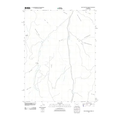
2010 Map of Big Foundation Creek
USGS Topo · Published 2010About this map
Oil Spring Mountain dominates the western portion of this Garfield County landscape, marking a terrain defined by deep drainages and high plateaus. The hydrologic network is centered on the north-south flow of West Douglas Creek, which collects runoff from several significant canyons including Wolf Canyon and Red Rock Canyon. This 2010 survey illustrates a region largely shaped by its natural topography rather than dense settlement, with only singular man-made interventions such as the Mark Number 1 Dam appearing along West Creek.
Find a feature on this map
21 named features on this map. Tap any name to fly to it.
Don’t see what you’re looking for? This feature index may not catch every label — zoom into the map to look around manually.
Map Details
Editions of this 2010 Big Foundation Creek Map
This is the sole edition of this map. No revisions or reprints were ever made.
Other maps of this area

1956 · Grand Junction
USGS Topo · 1:250,000

1959 · Grand Junction
USGS Topo · 1:250,000

1960 · Grand Junction
USGS Topo · 1:250,000

1962 · Grand Junction
USGS Topo · 1:250,000

1964 · Grand Junction
USGS Topo · 1:250,000

1964 · Texas Creek
USGS Topo · 1:24,000

1964 · Douglas Pass
USGS Topo · 1:24,000

1964 · Brushy Point
USGS Topo · 1:24,000

1964 · East Evacuation Creek
USGS Topo · 1:24,000
1964 · White Coyote Draw
USGS Topo · 1:24,000