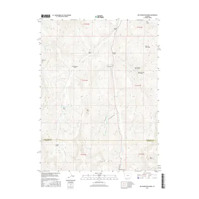
2016 Map of Big Foundation Creek
USGS Topo · Published 2016About this map
Oil Spring Mtn dominates the western landscape of this 2016 survey, a region defined by its complex drainage systems and severe topography at the border of Rio Blanco and Garfield counties. The central corridor is anchored by the winding path of W Douglas Cr and the namesake Big Foundation Creek, which carve through deep incisions such as Red Rock Canyon and Round Mountain Canyon. These natural features reveal the erosional history of the plateau, where numerous forks and draws, including Right Fork Rope Canyon and Mail Box Draw, feed the larger creek systems.
Find a feature on this map
31 named features on this map. Tap any name to fly to it.
Don’t see what you’re looking for? This feature index may not catch every label — zoom into the map to look around manually.
Map Details
Editions of this 2016 Big Foundation Creek Map
This is the sole edition of this map. No revisions or reprints were ever made.
Other maps of this area

1956 · Grand Junction
USGS Topo · 1:250,000

1959 · Grand Junction
USGS Topo · 1:250,000

1960 · Grand Junction
USGS Topo · 1:250,000

1962 · Grand Junction
USGS Topo · 1:250,000

1964 · Grand Junction
USGS Topo · 1:250,000

1964 · Texas Creek
USGS Topo · 1:24,000

1964 · Douglas Pass
USGS Topo · 1:24,000

1964 · Brushy Point
USGS Topo · 1:24,000

1964 · East Evacuation Creek
USGS Topo · 1:24,000
1964 · White Coyote Draw
USGS Topo · 1:24,000