
1939 Map of Big Island
USGS Topo · Published 1945About this map
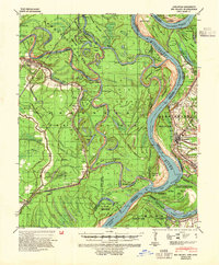
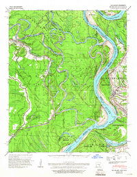
The confluence of the White River, Arkansas River, and Mississippi River dominates this landscape, revealing a complex hydrological system of bends and cut-offs. The White River Migratory Waterfowl Refuge encompasses a significant portion of the northern wetlands, including Old River Lake and Poverty Point. Evidence of the river's historical engineering is visible in the Napoleon Cut-off 1863 and the Montgomery Cut-off, which transformed the navigation of these volatile waterways. On the eastern bank, the town of Rosedale serves as a primary landing, supported by the Rosedale Ldg and the Rosedale Bend. Throughout the river bottomlands, numerous landings such as Rosemary Ldg and McCloud Ldg provided essential transport links for the area's timber and agricultural economy. The Missouri Pacific railroad cuts through the western terrain near Yancopin, crossing various bayous like Cypress Bayou and Rube Bayou.
Find a feature on this map
64 named features on this map. Tap any name to fly to it.
Don’t see what you’re looking for? This feature index may not catch every label — zoom into the map to look around manually.
Map Details
Editions of this 1939 Big Island Map
3 editions found
Other maps of this area

1930 · Mellwood
USGS Topo · 1:62,500

1933 · Lamont
USGS Topo · 1:62,500

1935 · Red Fork
USGS Topo · 1:62,500

1935 · Gillett
USGS Topo · 1:62,500

1936 · McGehee
USGS Topo · 1:62,500

1937 · McGehee
USGS Topo · 1:62,500

1939 · Henrico
USGS Topo · 1:62,500

1939 · Pace
USGS Topo · 1:62,500

1939 · Mellwood
USGS Topo · 1:62,500

1939 · Lamont
USGS Topo · 1:62,500