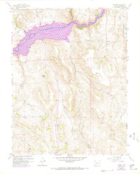
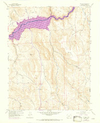
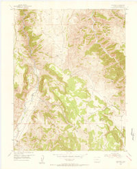
1954 Map of Big Mesa
USGS Topo · Published 1972About this map
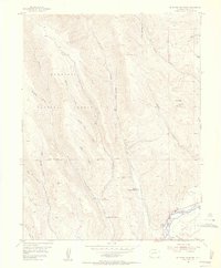
Blue Mesa Reservoir Elevation 7519 dominates this landscape, showing the impact of mid-century infrastructure on the historic Gunnison River corridor. Revisions from 1970 illustrate the reservoir's footprint as it reached its operational capacity, inundating the deep canyon floors where tributaries like Willow Creek and Beaver Creek once met the primary river channel. High above the water, the sprawling plateau of Big Mesa remains a prominent landform, dotted with a few prospects and isolated landmarks such as Blaine Rock. Evidence of early ranching and travel persists in the southern sections, where Shaw Ranch sits near the confluence of several mountain streams. The presence of a Jeep Trail and the small settlement at Hierro reflect the transition from early 20th-century frontier life to the modern recreational and water-management era in Gunnison County.
Find a feature on this map
22 named features on this map. Tap any name to fly to it.
Don’t see what you’re looking for? This feature index may not catch every label — zoom into the map to look around manually.
Map Details
Editions of this 1954 Big Mesa Map
8 editions found

Other maps of this area

1908 · Uncompahgre
USGS Topo · 1:125,000

1911 · Uncompahgre
USGS Topo · 1:125,000
1954 · Iris NW
USGS Topo · 1:24,000
1954 · Iola
USGS Topo · 1:24,000
1954 · Mc Intosh Mountain
USGS Topo · 1:24,000
1954 · West Elk Peak SW
USGS Topo · 1:24,000
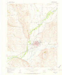
1954 · Gunnison
USGS Topo · 1:24,000
1954 · Cebolla
USGS Topo · 1:24,000
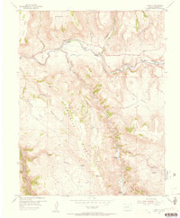
1954 · Gateview
USGS Topo · 1:24,000

1956 · Montrose
USGS Topo · 1:250,000