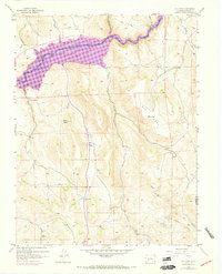
1954 Map of Big Mesa
USGS Topo · Published 1973About this map
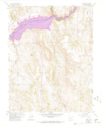
The Gunnison River and the subsequent flooding of the Blue Mesa Reservoir dominate this mid-century landscape on the boundary of Gunnison and Saguache counties. Published in 1973 based on earlier field checks and 1970 revisions, the map reveals the transformation of the canyon floor into a massive waterway, a significant hydraulic shift for the region. The high plateau of Big Mesa rises sharply to the south, marked by the Big Mesa triangulation station and several scattered prospects that suggest historical mining activity in the area.
Find a feature on this map
22 named features on this map. Tap any name to fly to it.
Don’t see what you’re looking for? This feature index may not catch every label — zoom into the map to look around manually.
Map Details
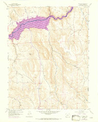
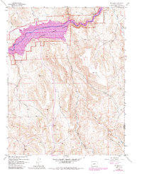
Editions of this 1954 Big Mesa Map
8 editions found
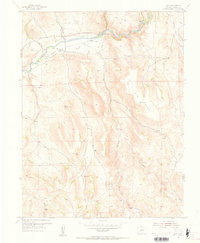
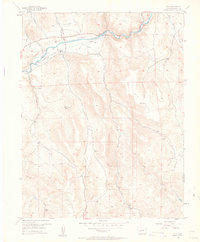
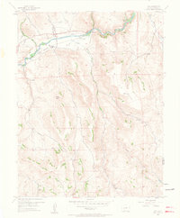
Other maps of this area

1908 · Uncompahgre
USGS Topo · 1:125,000

1911 · Uncompahgre
USGS Topo · 1:125,000

1954 · Iris NW
USGS Topo · 1:24,000

1954 · Iola
USGS Topo · 1:24,000

1954 · Mc Intosh Mountain
USGS Topo · 1:24,000

1954 · West Elk Peak SW
USGS Topo · 1:24,000

1954 · Gunnison
USGS Topo · 1:24,000

1954 · Cebolla
USGS Topo · 1:24,000

1954 · Gateview
USGS Topo · 1:24,000

1956 · Montrose
USGS Topo · 1:250,000