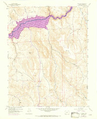
1954 Map of Big Mesa
USGS Topo · Published 1973About this map
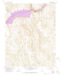
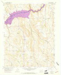
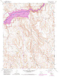
The Gunnison River corridor is the dominant feature of this mid-century survey, specifically where it widens into the Blue Mesa Reservoir. Revisions from 1970 illustrate the impact of water management on this landscape, as the reservoir fills the valley floor once defined by the river's original course. Above the shoreline, the massive landform of Big Mesa rises toward Vabm 8744, while scattered prospects suggest the mining heritage of the surrounding slopes. Drainage patterns are intricate, with Steuben Creek, Willow Creek, and Beaver Creek feeding into the main channel. Evidence of high-altitude ranching and transit remains via the Shaw Ranch and a network of unimproved roads and a Jeep Trail that traverse the high ground between Blaine Rock and the Gunnison and Saguache county line.
Find a feature on this map
60 named features on this map. Tap any name to fly to it.
Don’t see what you’re looking for? This feature index may not catch every label — zoom into the map to look around manually.
Map Details
Editions of this 1954 Big Mesa Map
8 editions found
Other maps of this area

1908 · Uncompahgre
USGS Topo · 1:125,000

1911 · Uncompahgre
USGS Topo · 1:125,000

1954 · Iris NW
USGS Topo · 1:24,000

1954 · Iola
USGS Topo · 1:24,000

1954 · Mc Intosh Mountain
USGS Topo · 1:24,000

1954 · West Elk Peak SW
USGS Topo · 1:24,000

1954 · Gunnison
USGS Topo · 1:24,000

1954 · Cebolla
USGS Topo · 1:24,000

1954 · Gateview
USGS Topo · 1:24,000

1956 · Montrose
USGS Topo · 1:250,000