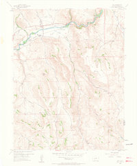
1954 Map of Iola
USGS Topo · Published 1963About this map
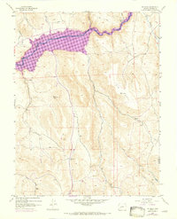
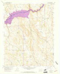
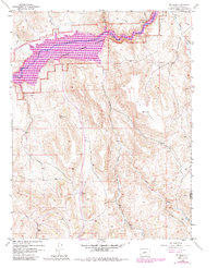
The Gunnison River flows through this 1950s landscape, providing a vital corridor for transportation and settlement in a high-elevation valley. Small communities like Iola and Elkhorn are established along the riverbanks, connected by a route marked Abandoned that traces the historic path of former rail infrastructure. To the south, the terrain rises sharply toward the expansive Big Mesa, where the VABM 8744 Big Mesa station marks a significant high point. This area is characterized by a network of drainage systems including Willow Creek and Steuben Creek that feed into the main river channel. Local landmarks like Blaine Rock and the Shaw Ranch indicate established land use and ranching history, while a dedicated Landing Strip near the river reflects the era's reliance on small aircraft for navigating this interior terrain.
Find a feature on this map
21 named features on this map. Tap any name to fly to it.
Don’t see what you’re looking for? This feature index may not catch every label — zoom into the map to look around manually.
Map Details
Editions of this 1954 Iola Map
8 editions found
Other maps of this area

1908 · Uncompahgre
USGS Topo · 1:125,000

1911 · Uncompahgre
USGS Topo · 1:125,000

1954 · Iris NW
USGS Topo · 1:24,000

1954 · Iola
USGS Topo · 1:24,000

1954 · Mc Intosh Mountain
USGS Topo · 1:24,000

1954 · West Elk Peak SW
USGS Topo · 1:24,000

1954 · Gunnison
USGS Topo · 1:24,000

1954 · Cebolla
USGS Topo · 1:24,000

1954 · Gateview
USGS Topo · 1:24,000

1956 · Montrose
USGS Topo · 1:250,000