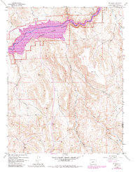
1954 Map of Big Mesa
USGS Topo · Published 1984About this map
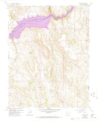
The Gunnison River corridor in Colorado underwent a massive transformation between its 1950 mapping and 1982 revisions, dominated by the filling of the Blue Mesa Reservoir. This map documents the resulting landscape within the Curecanti National Recreation Area, where rising waters reshaped the valley floor. To the south, the massive landform of Big Mesa towers over the drainage systems of Pole Creek and Cebolla Creek. Evidence of earlier land use remains visible through the Shaw Ranch and the small settlement of Hierro in the northeast. For those interested in the area's resource history, a Prospect is noted in the central hills, while landmarks like Blaine Rock and Big Springs provide fixed points amidst the changing hydrology. The map also highlights the recreational shift of the era at the Iola (Campground) site along the northern shoreline.
Find a feature on this map
22 named features on this map. Tap any name to fly to it.
Don’t see what you’re looking for? This feature index may not catch every label — zoom into the map to look around manually.
Map Details
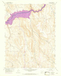
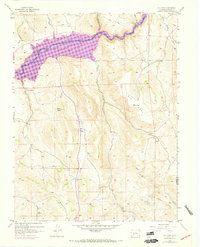
Editions of this 1954 Big Mesa Map
8 editions found
Other maps of this area

1908 · Uncompahgre
USGS Topo · 1:125,000

1911 · Uncompahgre
USGS Topo · 1:125,000

1954 · Iris NW
USGS Topo · 1:24,000

1954 · Iola
USGS Topo · 1:24,000

1954 · Mc Intosh Mountain
USGS Topo · 1:24,000

1954 · West Elk Peak SW
USGS Topo · 1:24,000

1954 · Gunnison
USGS Topo · 1:24,000

1954 · Cebolla
USGS Topo · 1:24,000

1954 · Gateview
USGS Topo · 1:24,000

1956 · Montrose
USGS Topo · 1:250,000