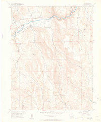
1954 Map of Iola
USGS Topo · Published 1963About this map
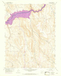
The Gunnison River winds through the northern portion of this mid-century survey, a landscape defined by ranching and high-altitude water management before the landscape was altered by dam projects. The settlement of Iola sits along the riverbanks, served by a nearby Landing Strip and a network of irrigation works labeled simply as Ditch. Small ranching outposts and settlements like Hierro, Elkhorn, and Shaw Ranch are connected by a mix of light-duty roads and a designated Jeep Trail, illustrating the remote nature of Western Colorado's cattle country during the 1950s.
Find a feature on this map
23 named features on this map. Tap any name to fly to it.
Don’t see what you’re looking for? This feature index may not catch every label — zoom into the map to look around manually.
Map Details
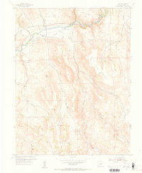
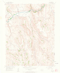
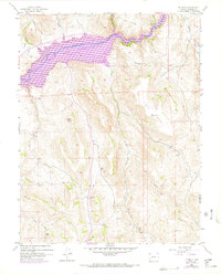
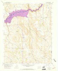
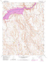
Editions of this 1954 Iola Map
8 editions found
Other maps of this area

1908 · Uncompahgre
USGS Topo · 1:125,000

1911 · Uncompahgre
USGS Topo · 1:125,000

1954 · Iris NW
USGS Topo · 1:24,000

1954 · Iola
USGS Topo · 1:24,000

1954 · Mc Intosh Mountain
USGS Topo · 1:24,000

1954 · West Elk Peak SW
USGS Topo · 1:24,000

1954 · Gunnison
USGS Topo · 1:24,000

1954 · Cebolla
USGS Topo · 1:24,000

1954 · Gateview
USGS Topo · 1:24,000

1956 · Montrose
USGS Topo · 1:250,000