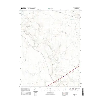
2016 Map of Big Plain
USGS Topo · Published 2016About this map
Deer Creek meanders through the heart of this Madison County landscape, dictating the placement of early settlements and agricultural boundaries. The small village of Big Plain serves as a central point, anchored by the Big Plain Cem and connected by historic corridors like the Big Plain Circleville Rd. The area is characterized by an extensive network of drainage ditches, such as McGuire Ditch and Chrisman Ditch, which converted the natural marshlands into productive farmland.
Find a feature on this map
50 named features on this map. Tap any name to fly to it.
Don’t see what you’re looking for? This feature index may not catch every label — zoom into the map to look around manually.
Map Details
Editions of this 2016 Big Plain Map
This is the sole edition of this map. No revisions or reprints were ever made.
Other maps of this area

1906 · Mt Sterling
USGS Topo · 1:62,500

1907 · London
USGS Topo · 1:62,500

1911 · Era
USGS Topo · 1:62,500

1913 · Era
USGS Topo · 1:62,500

1923 · West Columbus
USGS Topo · 1:62,500

1925 · West Columbus
USGS Topo · 1:62,500

1943 · Era
USGS Topo · 1:62,500

1947 · Columbus
USGS Topo · 1:250,000

1955 · Harrisburg
USGS Topo · 1:24,000
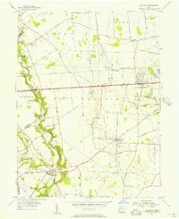
1955 · Galloway
USGS Topo · 1:24,000