Loading...
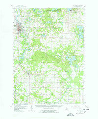
Loading map...1958 Map of Big Rapids
USGS Topo · Published 1978About this map
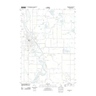
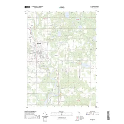
Big Rapids serves as the focal point of this mid-century landscape, positioned along the banks of the Muskegon River where the Pennsylvania railroad line cuts through the city. The presence of the Ferris Institute and the nearby Airport highlights the area's development as an educational and regional hub. To the south, the river is harnessed by the Rogers Dam, creating the Rogers Dam Pond, a significant modification of the natural waterway that reflects the era's focus on hydroelectric power and water management.
Find a feature on this map
91 named features on this map. Tap any name to fly to it.
Don’t see what you’re looking for? This feature index may not catch every label — zoom into the map to look around manually.
Map Details
Date Portrayed1958
Date Published1978
PublisherU.S. Geological Survey
Map TypeTopographic
Scale1:62,500
Physical Dimensions18 x 21.9 inches
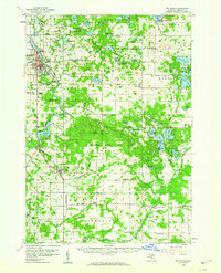
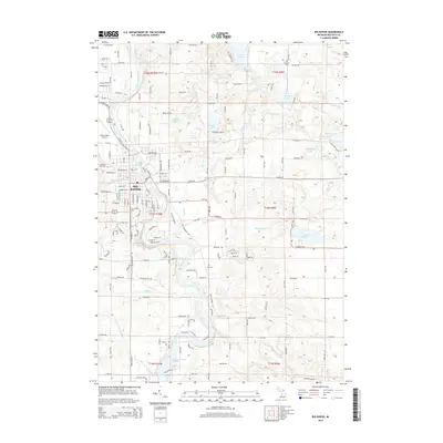
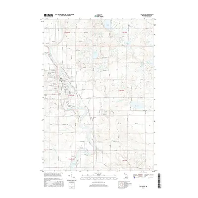
Editions of this 1958 Big Rapids Map
3 editions found
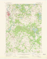
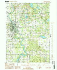
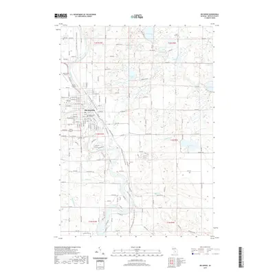
Historical Maps of Big Rapids Through Time
9 maps found


Featured Locations
Source Details
SourceU.S. Geological Survey
CopyrightPublic Domain