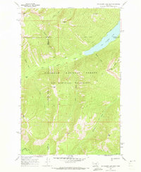
1970 Map of Big Salmon Lake West
USGS Topo · Published 1973About this map
Big Salmon Lake dominates this 1970 study of the high Montana backcountry, where the waters of the South Fork Flathead River drainage are carved by narrow drainages like Charlotte Creek and Lamoose Creek. This landscape, situated within the Flathead National Forest and the Bob Marshall Wilderness, shows a primitive transportation network consisting entirely of Pack Trails and Foot Trails. The infrastructure of forest management is anchored by the Pendant Guard Sta near Pendant Creek, providing a base for monitoring this remote terrain. Significant geological landmarks define the skyline, including Garnet Peak, Charlotte Peak, and Gyp Mtn. The map also captures the meeting of Powell, Missoula, and Flathead counties along high ridges and summits like Patrol Point, illustrating how natural topography dictated early administrative boundaries in the northern Rockies.
Find a feature on this map
31 named features on this map. Tap any name to fly to it.
Don’t see what you’re looking for? This feature index may not catch every label — zoom into the map to look around manually.
Map Details
Editions of this 1970 Big Salmon Lake West Map
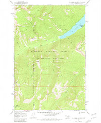
2 editions found
Other maps of this area

1902 · Ovando
USGS Topo · 1:125,000

1905 · Ovando
USGS Topo · 1:125,000

1921 · Elbow Lake
USGS Topo · 1:125,000

1936 · Silvertip
USGS Topo · 1:96,000

1942 · Silvertip
USGS Topo · 1:125,000

1955 · Choteau
USGS Topo · 1:250,000

1957 · Choteau
USGS Topo · 1:250,000

1958 · Choteau
USGS Topo · 1:250,000

1962 · Choteau
USGS Topo · 1:250,000

1965 · Sunburst Lake
USGS Topo · 1:24,000