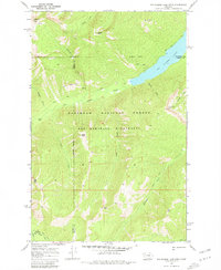
1970 Map of Big Salmon Lake West
USGS Topo · Published 1981About this map
Bob Marshall Wilderness defines the interior of this topographic study, where the landscape is marked by the convergence of Powell, Missoula, and Flathead counties. The drainage of Big Salmon Creek and its many tributaries, such as Spud Creek and Casey Creek, shape the high-elevation terrain. A significant hydrological feature is Big Salmon Lake in the northeastern corner, fed by streams like Charlotte Creek and Lamouse Creek.
Find a feature on this map
31 named features on this map. Tap any name to fly to it.
Don’t see what you’re looking for? This feature index may not catch every label — zoom into the map to look around manually.
Map Details
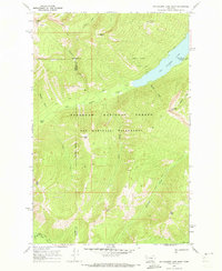
Editions of this 1970 Big Salmon Lake West Map
2 editions found
Other maps of this area

1902 · Ovando
USGS Topo · 1:125,000

1905 · Ovando
USGS Topo · 1:125,000

1921 · Elbow Lake
USGS Topo · 1:125,000

1936 · Silvertip
USGS Topo · 1:96,000

1942 · Silvertip
USGS Topo · 1:125,000

1955 · Choteau
USGS Topo · 1:250,000

1957 · Choteau
USGS Topo · 1:250,000

1958 · Choteau
USGS Topo · 1:250,000

1962 · Choteau
USGS Topo · 1:250,000

1965 · Sunburst Lake
USGS Topo · 1:24,000