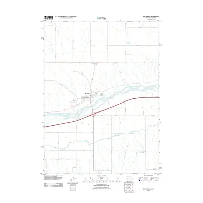
2011 Map of Big Springs
USGS Topo · Published 2011About this map
Big Springs serves as the focal point of this Nebraska panhandle landscape, situated where the high plains meet the fertile valley of the South Platte River. The map documents a town structured around core community landmarks, including the Big Springs Post Office and the Big Spring Cemetery to the west. This 2011 survey reveals an intricate irrigation and transportation network, dominated by the Western Canal which snakes across the southern plains to support local agriculture. The transition from the rural village to the open range is marked by topographic features like Trailer House Gulch and the seasonal waters of Goldeneye Lake. To the north, Big Springs Junction indicates the convergence of primary transit routes, while the Newman Airport reflects the continued importance of regional aviation in this corner of Deuel County.
Find a feature on this map
35 named features on this map. Tap any name to fly to it.
Don’t see what you’re looking for? This feature index may not catch every label — zoom into the map to look around manually.
Map Details
Editions of this 2011 Big Springs Map
This is the sole edition of this map. No revisions or reprints were ever made.
Other maps of this area

1897 · Ogallala
USGS Topo · 1:125,000

1900 · Chappell
USGS Topo · 1:125,000

1900 · Ogallala
USGS Topo · 1:125,000

1954 · Sterling
USGS Topo · 1:250,000

1954 · Scottsbluff
USGS Topo · 1:250,000

1954 · McCook
USGS Topo · 1:250,000

1954 · North Platte
USGS Topo · 1:250,000

1956 · North Platte
USGS Topo · 1:250,000

1957 · North Platte
USGS Topo · 1:250,000

1957 · McCook
USGS Topo · 1:250,000