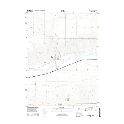
2014 Map of Big Springs
USGS Topo · Published 2014About this map
Big Springs sits at a critical geographic junction where the high plains of the Nebraska Panhandle meet the Colorado state line. The landscape is defined by the broad valley of the South Platte River, which has long served as a corridor for travel and irrigation. The presence of the Western Canal and various drainage features like Trailer House Gulch highlight the managed hydrology necessary for agriculture in this semi-arid region.
Find a feature on this map
46 named features on this map. Tap any name to fly to it.
Don’t see what you’re looking for? This feature index may not catch every label — zoom into the map to look around manually.
Map Details
Editions of this 2014 Big Springs Map
This is the sole edition of this map. No revisions or reprints were ever made.
Other maps of this area

1897 · Ogallala
USGS Topo · 1:125,000

1900 · Chappell
USGS Topo · 1:125,000

1900 · Ogallala
USGS Topo · 1:125,000

1954 · Sterling
USGS Topo · 1:250,000

1954 · Scottsbluff
USGS Topo · 1:250,000

1954 · McCook
USGS Topo · 1:250,000

1954 · North Platte
USGS Topo · 1:250,000

1956 · North Platte
USGS Topo · 1:250,000

1957 · North Platte
USGS Topo · 1:250,000

1957 · McCook
USGS Topo · 1:250,000