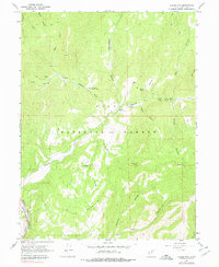
1967 Map of Billies Mtn.
USGS Topo · Published 1978About this map
Diamond Battle Historical Monument stands as a significant commemorative marker within the Uinta National Forest, noting a site of conflict in the canyon lands east of the Wasatch Front. This mid-century landscape is defined by the steep drainage systems of Diamond Fork and Spanish Fork Canyon, where the D & R G W railroad tracks follow the river's bend at the southern edge of the survey. The map details a transition from resource extraction and industrial activity, indicated by a Mine and Test Well near the northern boundary, to a mid-century recreational landscape featuring the Palmyra Campground and Diamond Campground. Local landmarks like Patrick Place and Wignal Spring offer specific points of interest for those tracing land use and family history in the area, while the network of pack trails, such as the Dibbles Pack Trail, suggests the persistent use of traditional mountain routes through Wanrhodes Canyon and Brimhall Canyon.
Find a feature on this map
33 named features on this map. Tap any name to fly to it.
Don’t see what you’re looking for? This feature index may not catch every label — zoom into the map to look around manually.
Map Details
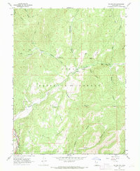
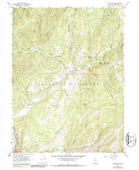
Editions of this 1967 Billies Mtn. Map
3 editions found
Other maps of this area

1885 · Salt Lake
USGS Topo · 1:250,000

1885 · Manti
USGS Topo · 1:250,000

1895 · Manti
USGS Topo · 1:250,000

1907 · Strawberry Valley
USGS Topo · 1:125,000

1909 · Strawberry Valley
USGS Topo · 1:125,000

1948 · Springville
USGS Topo · 1:24,000

1949 · Provo
USGS Topo · 1:62,500

1949 · Spanish Fork Peak
USGS Topo · 1:24,000
1950 · Springville
USGS Topo · 1:24,000

1951 · Spanish Fork Peak
USGS Topo · 1:24,000