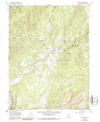
1967 Map of Billies Mtn.
USGS Topo · Published 1987About this map
Billies Mountain and the canyonlands of the Uinta National Forest define this landscape south of the Spanish Fork river canyon. In the 1960s, this area served as a critical corridor for mountain transit and resource management, anchored by the D & R G W railroad tracks following the Spanish Fork riverbed. Local history is physically marked by the Diamond Battle Historical Monument situated near Little Diamond Creek, a site commemorating early regional conflicts. Settlement is sparse, with remote locations like Patrick Place and established recreation spots such as Palmyra Campground and Diamond Campground providing the primary human footprint. The map also documents a mine and numerous water management features, including a gaging station and several test wells, illustrating the intersection of historic transit routes and essential watershed monitoring.
Find a feature on this map
31 named features on this map. Tap any name to fly to it.
Don’t see what you’re looking for? This feature index may not catch every label — zoom into the map to look around manually.
Map Details
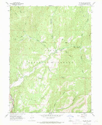
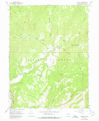
Editions of this 1967 Billies Mtn. Map
3 editions found
Other maps of this area

1885 · Salt Lake
USGS Topo · 1:250,000

1885 · Manti
USGS Topo · 1:250,000

1895 · Manti
USGS Topo · 1:250,000

1907 · Strawberry Valley
USGS Topo · 1:125,000

1909 · Strawberry Valley
USGS Topo · 1:125,000

1948 · Springville
USGS Topo · 1:24,000

1949 · Provo
USGS Topo · 1:62,500

1949 · Spanish Fork Peak
USGS Topo · 1:24,000
1950 · Springville
USGS Topo · 1:24,000

1951 · Spanish Fork Peak
USGS Topo · 1:24,000