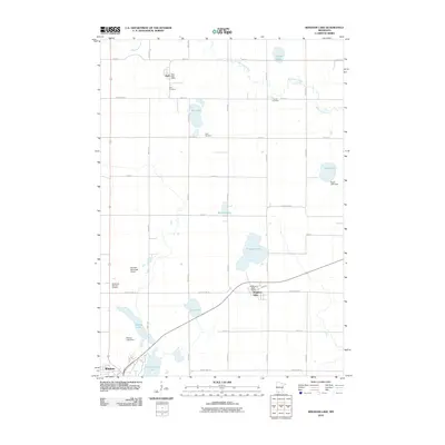
2010 Map of Bingham Lake
USGS Topo · Published 2010About this map
Bingham Lake and the Watonwan River serve as the primary hydrologic anchors of this southwest Minnesota landscape, where the prairie grid of Cottonwood County meets the growing industrial and municipal footprint of Windom. The map captures a transition between the concentrated residential streets of Bingham Lake and the agricultural reaches to the north and west. Rural identity is preserved in small nodes like Delft, which is anchored by its own Delft Post Office and Delft Cemetery.
Find a feature on this map
39 named features on this map. Tap any name to fly to it.
Don’t see what you’re looking for? This feature index may not catch every label — zoom into the map to look around manually.
Map Details
Editions of this 2010 Bingham Lake Map
This is the sole edition of this map. No revisions or reprints were ever made.
Other maps of this area

1953 · New Ulm
USGS Topo · 1:250,000

1954 · Fairmont
USGS Topo · 1:250,000

1957 · New Ulm
USGS Topo · 1:250,000

1958 · New Ulm
USGS Topo · 1:250,000

1958 · Fairmont
USGS Topo · 1:250,000

1967 · New Ulm
USGS Topo · 1:250,000

1967 · Sanborn SE
USGS Topo · 1:24,000

1967 · Jeffers
USGS Topo · 1:24,000
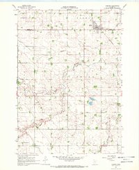
1967 · Comfrey
USGS Topo · 1:24,000
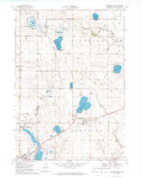
1970 · Bingham Lake
USGS Topo · 1:24,000