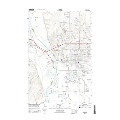
2014 Map of Bismarck
USGS Topo · Published 2014About this map
The Missouri River serves as the central artery and dividing line between Bismarck in Burleigh County and Mandan in Morton County. This 2014 topographic study shows the extensive infrastructure of the North Dakota state capital, from the Bismarck Municipal Airport to the western outskirts of Mandan along the Heart River. A significant concentration of military and civic history is gathered south of the cities, where the Ft Lincoln Military Cem and N Dakota Veterans Cem overlook the river valley. The map also traces the modern expansion of educational and residential zones, including Bismarck State Coll and Rasmussen College-Bismarck, while identifying numerous local burial grounds like Saint Marys Cem and Sunset Memorial Garden that are vital for genealogical research.
Find a feature on this map
308 named features on this map. Tap any name to fly to it.
Don’t see what you’re looking for? This feature index may not catch every label — zoom into the map to look around manually.
Map Details
Editions of this 2014 Bismarck Map
This is the sole edition of this map. No revisions or reprints were ever made.
Other maps of this area

1907 · Bismarck
USGS Topo · 1:125,000

1950 · Bismarck
USGS Topo · 1:24,000

1951 · Menoken SW
USGS Topo · 1:24,000

1951 · Bismarck
USGS Topo · 1:62,500

1951 · Mandan
USGS Topo · 1:24,000

1951 · Menoken
USGS Topo · 1:62,500

1954 · Bismarck
USGS Topo · 1:250,000

1958 · Bismarck
USGS Topo · 1:250,000

1962 · Sugarloaf Butte
USGS Topo · 1:24,000

1962 · Schmidt
USGS Topo · 1:24,000