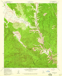
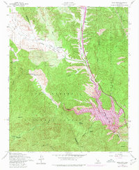
1958 Map of Black Mtn
USGS Topo · Published 1959About this map
The Golden State Highway cuts through the canyon country of northern Los Angeles County, following the course of Gorman Creek and Canada de Los Alamos. This late-1950s landscape is defined by remote homesteads and operational infrastructure, including the Highway Maintenance Sta and the Buck Creek Guard Sta. Ranching footprints like Lane Ranch and Kinsey Ranch are visible in Hungry Valley, where a dedicated Racetrack and the Random No 2 mine suggest a variety of land uses beyond simple grazing.
Find a feature on this map
44 named features on this map. Tap any name to fly to it.
Don’t see what you’re looking for? This feature index may not catch every label — zoom into the map to look around manually.
Map Details
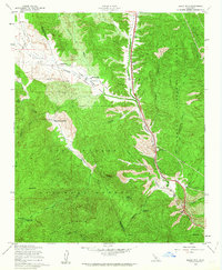
Editions of this 1958 Black Mtn Map
5 editions found
Other maps of this area

1903 · Tejon
USGS Topo · 1:125,000

1932 · Beartrap Canyon
USGS Topo · 1:24,000

1933 · Quail
USGS Topo · 1:24,000

1933 · Gorman
USGS Topo · 1:24,000

1938 · Beartrap Canyon
USGS Topo · 1:24,000

1938 · Gorman
USGS Topo · 1:24,000

1938 · Black Mountain
USGS Topo · 1:24,000

1938 · Quail
USGS Topo · 1:24,000

1942 · Frazier Mountain
USGS Topo · 1:24,000

1943 · Neenach
USGS Topo · 1:62,500