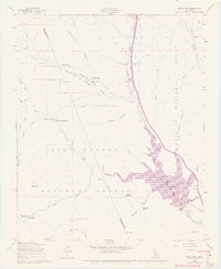
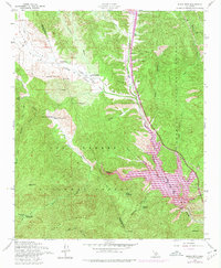
1958 Map of Black Mtn
USGS Topo · Published 1975About this map
Pyramid Lake serves as a massive focal point in this 1974 revision, which documents the critical water infrastructure and mountainous landscape along the Ventura and Los Angeles county line. The complex engineering of the California Aqueduct is prominently displayed, featuring the Gorman Creek Siphon and Side Hill Siphon as they navigate the varied elevations of Hungry Valley.
Find a feature on this map
45 named features on this map. Tap any name to fly to it.
Don’t see what you’re looking for? This feature index may not catch every label — zoom into the map to look around manually.
Map Details
Editions of this 1958 Black Mtn Map
5 editions found
Other maps of this area

1903 · Tejon
USGS Topo · 1:125,000

1932 · Beartrap Canyon
USGS Topo · 1:24,000

1933 · Quail
USGS Topo · 1:24,000

1933 · Gorman
USGS Topo · 1:24,000

1938 · Beartrap Canyon
USGS Topo · 1:24,000

1938 · Gorman
USGS Topo · 1:24,000

1938 · Black Mountain
USGS Topo · 1:24,000

1938 · Quail
USGS Topo · 1:24,000

1942 · Frazier Mountain
USGS Topo · 1:24,000

1943 · Neenach
USGS Topo · 1:62,500