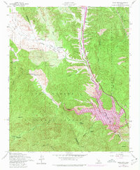
1958 Map of Black Mtn
USGS Topo · Published 1980About this map
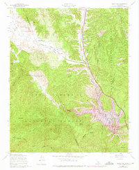
Pyramid Lake and its prominent Spillway dominate the southeastern corner of this landscape, where the California Aqueduct snakes through the canyon alongside Interstate 5. The map documents a rugged transition between the Angeles National Forest and Los Padres National Forest, characterized by deep drainages like Piru Creek and the long expanse of Cañada de Los Alamos. Historic land use is evident in the scattered rural holdings such as Lane Ranch, Kinsey Ranch, and the Bailey Homestead, which sit amidst the mountainous terrain of the Hungry Valley. The area’s recreational and administrative history is noted through features like the Buck Cr Guard Sta, Hardluck Campground, and the Buck Creek Campground. Significant natural landmarks, including Beartrap Rock, Pyramid Rock, and the high peak of White Mountain, define the topography of this Ventura and Los Angeles County border region.
Find a feature on this map
49 named features on this map. Tap any name to fly to it.
Don’t see what you’re looking for? This feature index may not catch every label — zoom into the map to look around manually.
Map Details
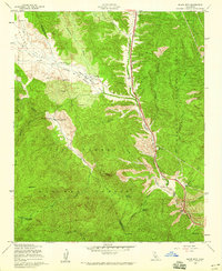
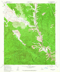
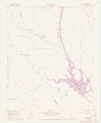
Editions of this 1958 Black Mtn Map
5 editions found
Other maps of this area

1903 · Tejon
USGS Topo · 1:125,000

1932 · Beartrap Canyon
USGS Topo · 1:24,000

1933 · Quail
USGS Topo · 1:24,000

1933 · Gorman
USGS Topo · 1:24,000

1938 · Beartrap Canyon
USGS Topo · 1:24,000

1938 · Gorman
USGS Topo · 1:24,000

1938 · Black Mountain
USGS Topo · 1:24,000

1938 · Quail
USGS Topo · 1:24,000

1942 · Frazier Mountain
USGS Topo · 1:24,000

1943 · Neenach
USGS Topo · 1:62,500