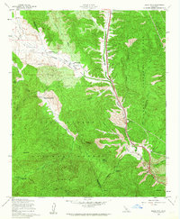
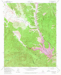
1958 Map of Black Mtn
USGS Topo · Published 1963About this map
Hungry Valley and the Canada de Los Alamos form a central corridor through this section of the Tehachapi Mountains. Along the Golden State Highway, small clusters of activity appear at Caswell and a Highway Maintenance Sta, while family-named holdings like Lane Ranch, Kinsey Ranch, and the Bailey Homestead are tucked into the drainages of Hungry Valley Creek and Piru Creek.
Find a feature on this map
37 named features on this map. Tap any name to fly to it.
Don’t see what you’re looking for? This feature index may not catch every label — zoom into the map to look around manually.
Map Details
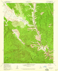
Editions of this 1958 Black Mtn Map
5 editions found
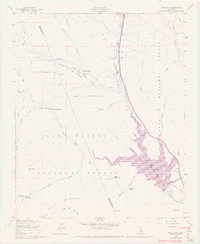
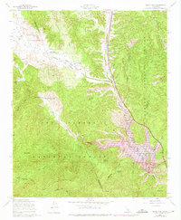
Other maps of this area

1903 · Tejon
USGS Topo · 1:125,000

1932 · Beartrap Canyon
USGS Topo · 1:24,000

1933 · Quail
USGS Topo · 1:24,000

1933 · Gorman
USGS Topo · 1:24,000

1938 · Beartrap Canyon
USGS Topo · 1:24,000

1938 · Gorman
USGS Topo · 1:24,000

1938 · Black Mountain
USGS Topo · 1:24,000

1938 · Quail
USGS Topo · 1:24,000

1942 · Frazier Mountain
USGS Topo · 1:24,000

1943 · Neenach
USGS Topo · 1:62,500