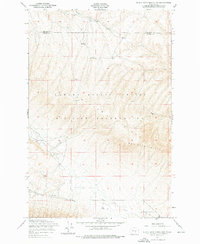
1953 Map of Black Rock Spring NW
USGS Topo · Published 1976About this map
The Yakima Firing Center Military Reservation dominates this mid-century landscape where the border between Kittitas and Yakima counties follows the high crest of Umtanum Ridge. This area shows a transition between ranching and military use, with family-named locations like Holmes Ranch and Bernhardt Ranch appearing alongside an Abadoned Dam near the headwaters of the Selah Ditch. The terrain is defined by dramatic elevation changes, notably across the Hog Ranch Buttes and the steep drainages of Squaw Creek and Selah Creek. Surveyed by the Army Map Service and the Corps of Engineers, the map preserves the alignment of the Tel Line and unimproved dirt roads that once serviced these remote high-desert holdings.
Find a feature on this map
12 named features on this map. Tap any name to fly to it.
Don’t see what you’re looking for? This feature index may not catch every label — zoom into the map to look around manually.
Map Details
Editions of this 1953 Black Rock Spring NW Map
2 editions found
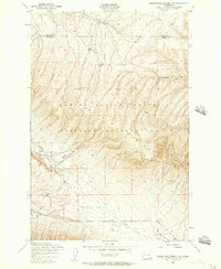
Other maps of this area

1936 · Yakima East
USGS Topo · 1:48,000

1936 · Hog Ranch Buttes
USGS Topo · 1:48,000

1938 · Badger Pocket
USGS Topo · 1:48,000

1939 · Boylston
USGS Topo · 1:48,000

1941 · Black Rock Spring
USGS Topo · 1:62,500

1941 · Yakima East
USGS Topo · 1:62,500

1943 · Boylston
USGS Topo · 1:62,500

1943 · Badger Pocket
USGS Topo · 1:62,500

1950 · Yakima
USGS Topo · 1:250,000

1953 · McDonald Spring
USGS Topo · 1:24,000