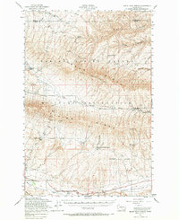
1953 Map of Black Rock Spring
USGS Topo · Published 1967About this map
Yakima Military Reservation occupies a massive portion of this mid-century landscape, highlighting the area's transition into a significant defense and training corridor. The rugged topography is defined by the high crests of Yakima Ridge and the volcanic prominence of Hog Ranch Buttes, which separate the agricultural potential of Moxee Valley and Black Rock Valley. Despite the military presence, evidence of an earlier ranching economy remains through named homesteads such as Holmes Ranch, Bernhardt Ranch, and Coffin Ranch. Water is the critical resource here, marked by remote sites like Black Rock Spring and Nelson Springs. Cultural landmarks like the Plant Quarantine Station and an Abandoned Reservoir near Rattlesnake Hills suggest the evolving land management and irrigation efforts typical of central Washington during this era.
Find a feature on this map
28 named features on this map. Tap any name to fly to it.
Don’t see what you’re looking for? This feature index may not catch every label — zoom into the map to look around manually.
Map Details
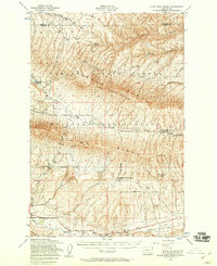
Editions of this 1953 Black Rock Spring Map
2 editions found
Other maps of this area

1910 · Zillah
USGS Topo · 1:125,000

1912 · Beverly
USGS Topo · 1:62,500

1915 · Prosser
USGS Topo · 1:125,000

1917 · Priest Rapids
USGS Topo · 1:62,500

1917 · Prosser
USGS Topo · 1:125,000

1936 · Yakima East
USGS Topo · 1:48,000

1936 · Hog Ranch Buttes
USGS Topo · 1:48,000

1938 · Badger Pocket
USGS Topo · 1:48,000

1939 · Boylston
USGS Topo · 1:48,000

1941 · Black Rock Spring
USGS Topo · 1:62,500