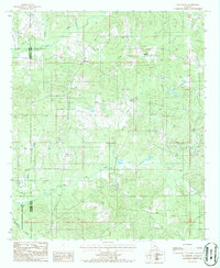
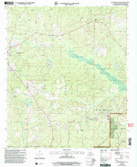
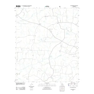
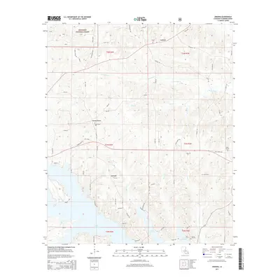
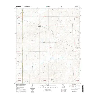
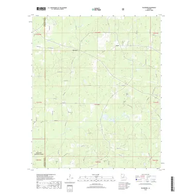
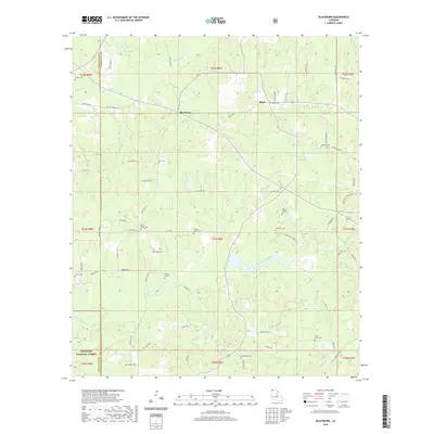
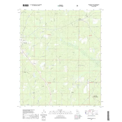
1986 Map of Blackburn
USGS Topo · Published 1986About this map
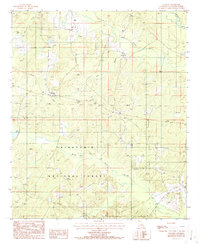
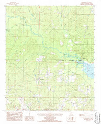
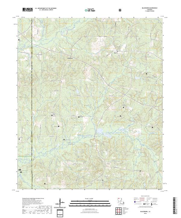
Blackburn and Ruple serve as the primary hubs of this landscape in the mid-1980s, situated along the border of Webster and Claiborne Parishes. The terrain is defined by a dense network of waterways, including Black Creek and Caney Creek, which weave through the heavily wooded areas that eventually transition into the Kisatchie National Forest in the southwest.
Find a feature on this map
15 named features on this map. Tap any name to fly to it.
Don’t see what you’re looking for? This feature index may not catch every label — zoom into the map to look around manually.
Map Details
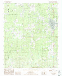
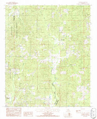
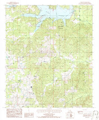
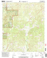
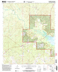
Editions of this 1986 Blackburn Map
This is the sole edition of this map. No revisions or reprints were ever made.
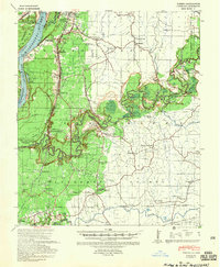
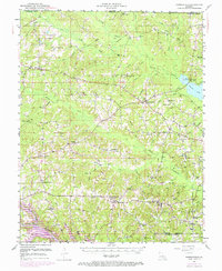
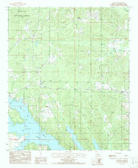
Historical Maps of Blackburn Through Time
56 maps found
1939 Yokena
Claiborne Parish, LA
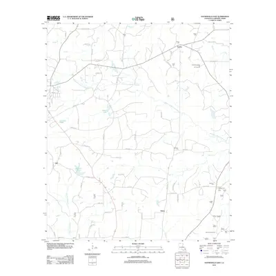
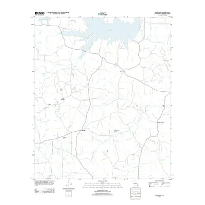
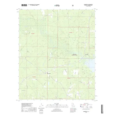
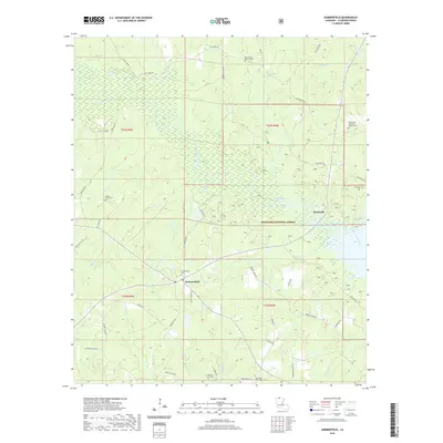
1951 Summerfield
Claiborne Parish, LA
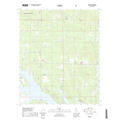
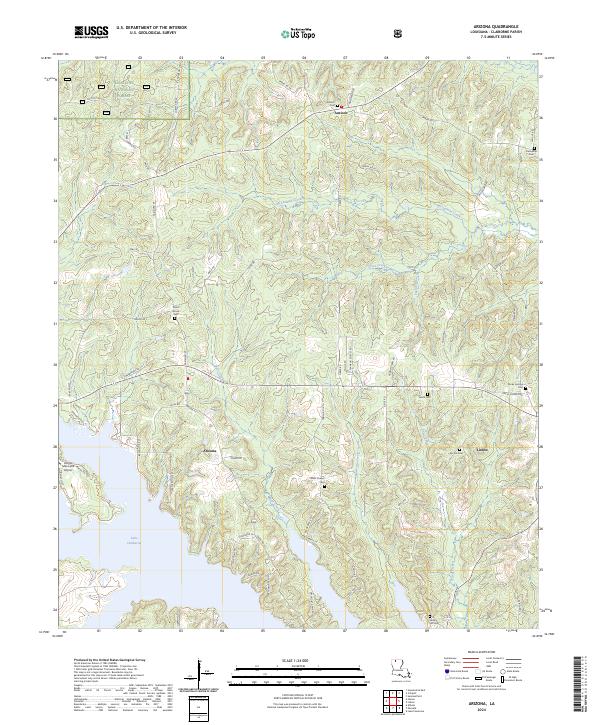
1986 Arizona
Claiborne Parish, LA
1986 Blackburn
Claiborne Parish, LA
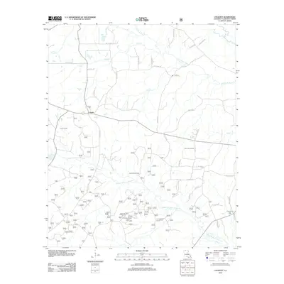
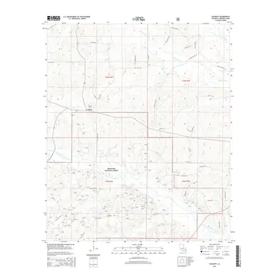
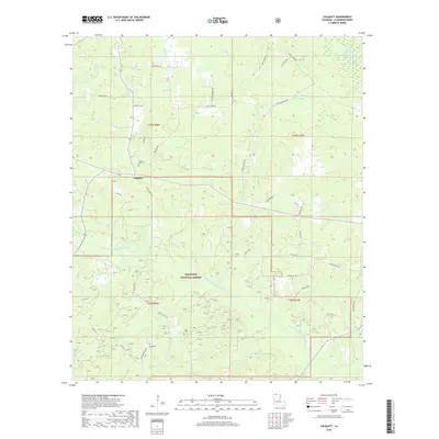
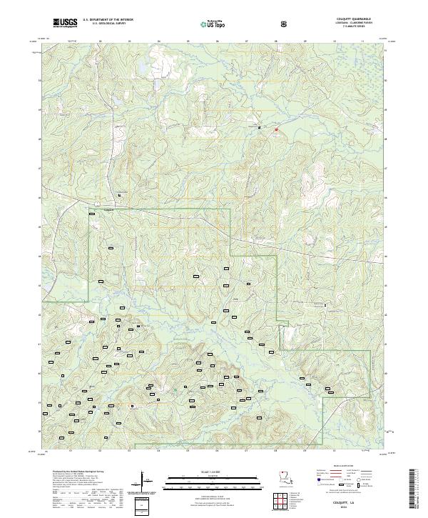
1986 Colquitt
Claiborne Parish, LA

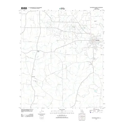
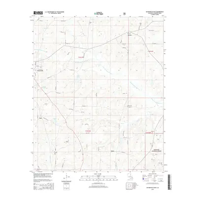
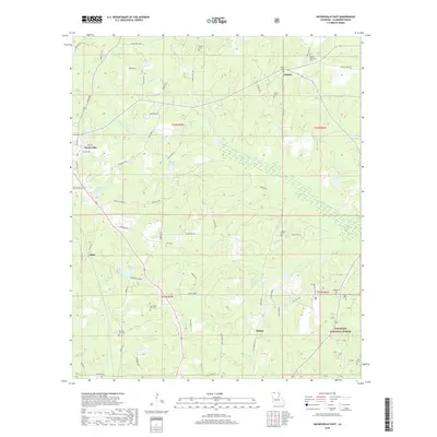
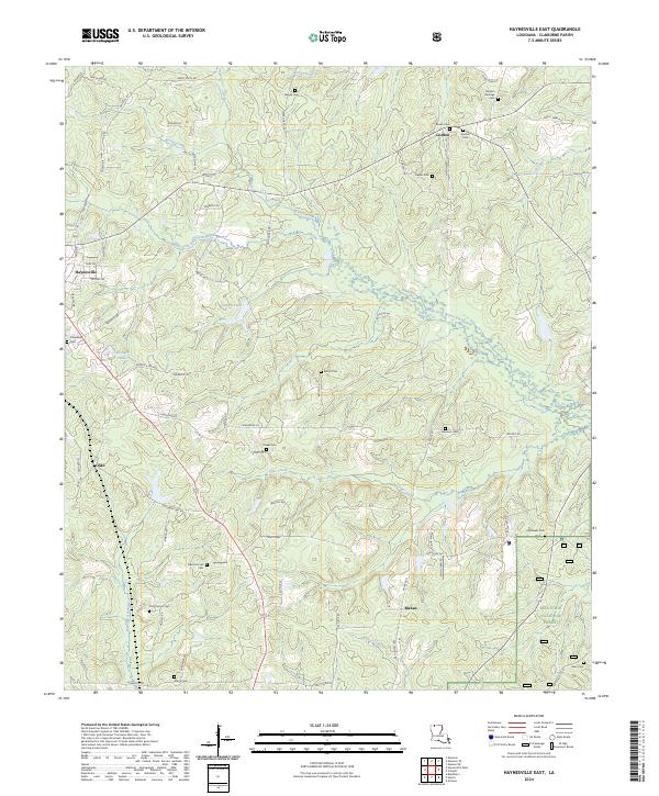
1986 Haynesville East
Claiborne Parish, LA
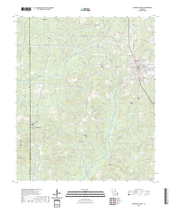
1986 Haynesville West
Claiborne Parish, LA
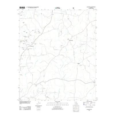
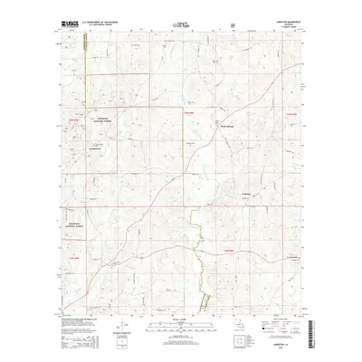
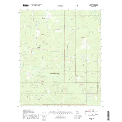
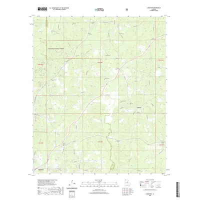
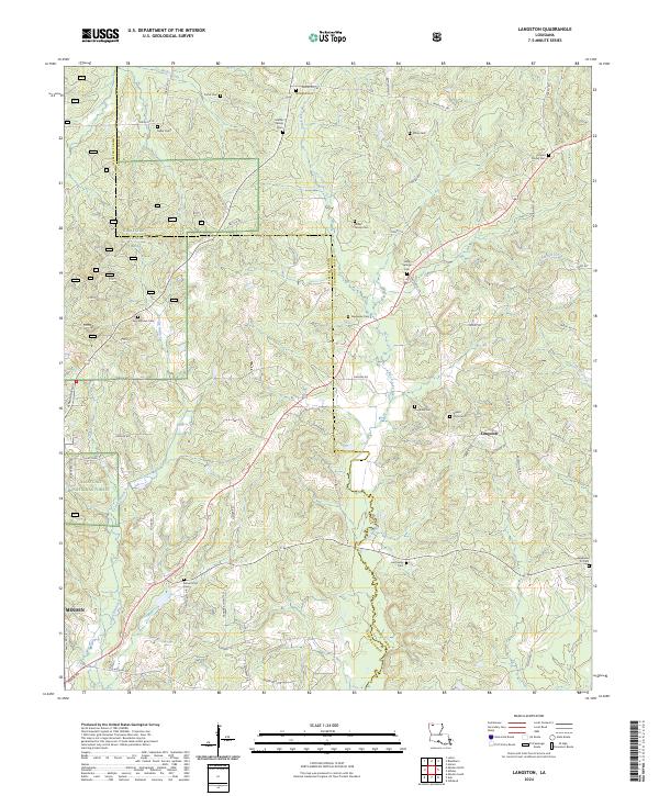
1986 Langston
Claiborne Parish, LA
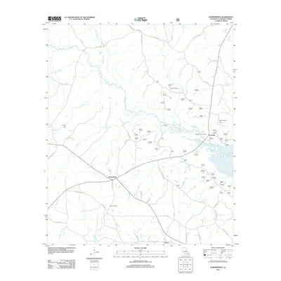
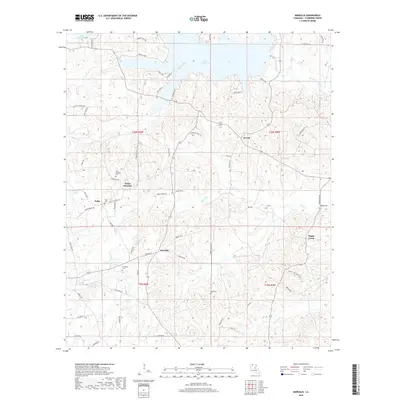
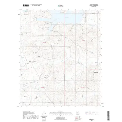
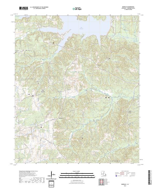
1986 Marsalis
Claiborne Parish, LA
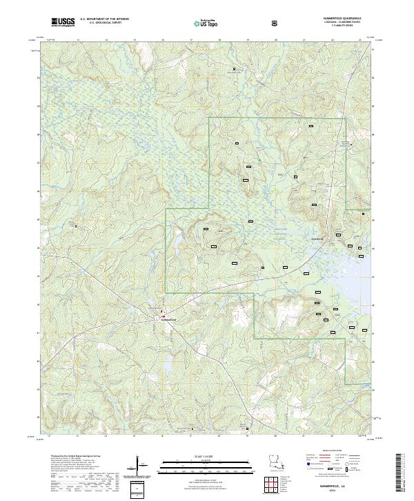
1986 Summerfield
Claiborne Parish, LA
2003 Arizona
Claiborne Parish, LA
2003 Blackburn
Claiborne Parish, LA
2003 Colquitt
Claiborne Parish, LA
2003 Haynesville East
Claiborne Parish, LA
2003 Langston
Claiborne Parish, LA
2003 Summerfield
Claiborne Parish, LA
2012 Arizona
Claiborne Parish, LA
2012 Blackburn
Claiborne Parish, LA
2012 Colquitt
Claiborne Parish, LA
2012 Haynesville East
Claiborne Parish, LA
2012 Haynesville West
Claiborne Parish, LA
2012 Langston
Claiborne Parish, LA
2012 Marsalis
Claiborne Parish, LA
2012 Summerfield
Claiborne Parish, LA
2015 Arizona
Claiborne Parish, LA
2015 Blackburn
Claiborne Parish, LA
2015 Colquitt
Claiborne Parish, LA
2015 Haynesville East
Claiborne Parish, LA

2015 Haynesville West
Claiborne Parish, LA
2015 Langston
Claiborne Parish, LA
2015 Marsalis
Claiborne Parish, LA
2015 Summerfield
Claiborne Parish, LA
2018 Arizona
Claiborne Parish, LA
2018 Blackburn
Claiborne Parish, LA
2018 Colquitt
Claiborne Parish, LA
2018 Haynesville East
Claiborne Parish, LA

2018 Haynesville West
Claiborne Parish, LA
2018 Langston
Claiborne Parish, LA
2018 Marsalis
Claiborne Parish, LA
2018 Summerfield
Claiborne Parish, LA
2020 Arizona
Claiborne Parish, LA
2020 Blackburn
Claiborne Parish, LA
2020 Colquitt
Claiborne Parish, LA
2020 Haynesville East
Claiborne Parish, LA

2020 Haynesville West
Claiborne Parish, LA
2020 Langston
Claiborne Parish, LA
2020 Marsalis
Claiborne Parish, LA
2020 Summerfield
Claiborne Parish, LA
2024 Arizona
Claiborne Parish, LA
2024 Blackburn
Claiborne Parish, LA
2024 Colquitt
Claiborne Parish, LA
2024 Haynesville East
Claiborne Parish, LA
2024 Haynesville West
Claiborne Parish, LA
2024 Langston
Claiborne Parish, LA
2024 Marsalis
Claiborne Parish, LA
2024 Summerfield
Claiborne Parish, LA