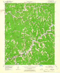
1954 Map of Blackey
USGS Topo · Published 1965About this map
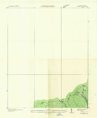
Rockhouse Creek and Carr Fork dictate the settlement patterns of this Kentucky coal country, where small communities are strung along narrow valley floors. The landscape of the mid-1950s is defined by the proximity of industrial and residential life, notably at Carbon Glow, which features its own Carbon Glow Sch and nearby Oil Wells. The rugged border between Knott Co and Letcher Co is peppered with rural institutions, from the Indian Bottom Ch to the Plax Patch Sch and Jeremiah Sch. In the southern portion of the sheet, the L & N railroad follows the winding banks of the North Fork of the Kentucky River, serving the town of Blackey and the curiously named Hot Spot. This survey captures the region just before significant modernization, showing a dense network of mountain schools and local family-named branches like Wolfpen Br and Little Doubles Br.
Find a feature on this map
74 named features on this map. Tap any name to fly to it.
Don’t see what you’re looking for? This feature index may not catch every label — zoom into the map to look around manually.
Map Details
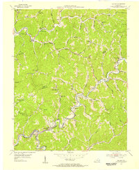
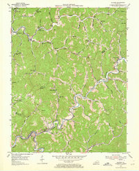
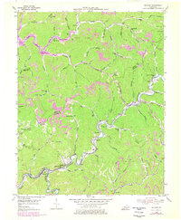
Editions of this 1954 Blackey Map
4 editions found
Other maps of this area

1890 · Whitesburg
USGS Topo · 1:125,000

1891 · Hazard
USGS Topo · 1:125,000

1892 · Whitesburg
USGS Topo · 1:125,000

1912 · Hindman
USGS Topo · 1:48,000

1913 · Oven Fork
USGS Topo · 1:48,000

1914 · Troublesome
USGS Topo · 1:62,500

1915 · Hindman
USGS Topo · 1:62,500

1915 · Whitesburg
USGS Topo · 1:62,500

1916 · Cornettsville
USGS Topo · 1:62,500
1935 · Pardee
USGS Topo · 1:24,000