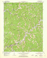
1954 Map of Blackey
USGS Topo · Published 1973About this map
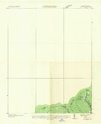
The North Fork Kentucky River cuts through the southwestern corner of this 1950s terrain, where the L & N railroad serves the community of Blackey. The landscape is defined by the winding course of Rockhouse Creek and Carr Fork, around which a dense network of mountain settlements is clustered. Coal mining and resource extraction are evident at the Strip Mine and the industrial hamlet of Carbon Glow, which includes its own Carbon Glow Sch.
Find a feature on this map
87 named features on this map. Tap any name to fly to it.
Don’t see what you’re looking for? This feature index may not catch every label — zoom into the map to look around manually.
Map Details
Editions of this 1954 Blackey Map
4 editions found
Other maps of this area

1890 · Whitesburg
USGS Topo · 1:125,000

1891 · Hazard
USGS Topo · 1:125,000

1892 · Whitesburg
USGS Topo · 1:125,000

1912 · Hindman
USGS Topo · 1:48,000

1913 · Oven Fork
USGS Topo · 1:48,000

1914 · Troublesome
USGS Topo · 1:62,500

1915 · Hindman
USGS Topo · 1:62,500

1915 · Whitesburg
USGS Topo · 1:62,500

1916 · Cornettsville
USGS Topo · 1:62,500
1935 · Pardee
USGS Topo · 1:24,000