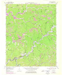
1954 Map of Blackey
USGS Topo · Published 1978About this map
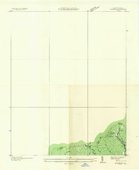
Rockhouse Creek carves a winding path through the heart of this Appalachian landscape, serving as the primary corridor for the L & N railroad and small settlements like Letcher and Blackey. The area demonstrates the deep integration of coal extraction and community life, with numerous strip mines and mines appearing on the ridges above valley hamlets. Local infrastructure is decentralized, characterized by several small educational and spiritual centers such as the Indian Bottom Ch, Jeremiah Sch, and Flax Patch Sch. At the southern edge, the North Fork Kentucky River flows past the curiously named Hot Spot, while the northern portion of the map is defined by the Carr Fork and the development of the Whitesburg Municipal Airport. The topographical data reflects a region where steep terrain has historically dictated the placement of every school, church, and homestead.
Find a feature on this map
77 named features on this map. Tap any name to fly to it.
Don’t see what you’re looking for? This feature index may not catch every label — zoom into the map to look around manually.
Map Details
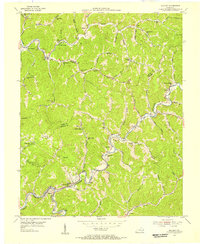
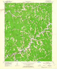
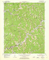
Editions of this 1954 Blackey Map
4 editions found
Other maps of this area

1890 · Whitesburg
USGS Topo · 1:125,000

1891 · Hazard
USGS Topo · 1:125,000

1892 · Whitesburg
USGS Topo · 1:125,000

1912 · Hindman
USGS Topo · 1:48,000

1913 · Oven Fork
USGS Topo · 1:48,000

1914 · Troublesome
USGS Topo · 1:62,500

1915 · Hindman
USGS Topo · 1:62,500

1915 · Whitesburg
USGS Topo · 1:62,500

1916 · Cornettsville
USGS Topo · 1:62,500
1935 · Pardee
USGS Topo · 1:24,000