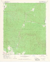
1966 Map of Blackjack Ridge
USGS Topo · Published 1967About this map
Winding Stair Mountain and Talihina Ridge dominate this section of the Ouachita National Forest in the mid-1960s. The landscape is defined by its deep hollows and high elevations, where landmarks like Sycamore Lookout Tower and a Radio Tower serve as essential communication and fire-watch points for the region. The map highlights the sharp boundary between Latimer and Le Flore counties as it cuts through the northern timberlands near the Summerfield Forest Boundary.
Find a feature on this map
31 named features on this map. Tap any name to fly to it.
Don’t see what you’re looking for? This feature index may not catch every label — zoom into the map to look around manually.
Map Details
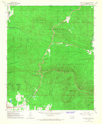
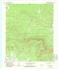
Editions of this 1966 Blackjack Ridge Map
3 editions found
Other maps of this area

1900 · Winding Stair
USGS Topo · 1:125,000

1901 · Tuskahoma
USGS Topo · 1:125,000

1908 · Tuskahoma
USGS Topo · 1:125,000

1909 · Tuskahoma
USGS Topo · 1:125,000

1909 · Winding Stair
USGS Topo · 1:125,000

1940 · Red Oak
USGS Topo · 1:62,500

1943 · Red Oak
USGS Topo · 1:62,500

1950 · Mcalester
USGS Topo · 1:250,000

1962 · McAlester
USGS Topo · 1:250,000

1965 · McAlester
USGS Topo · 1:250,000