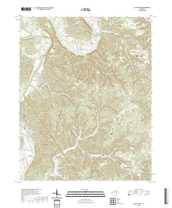
2022 Map of Blacks Ferry
USGS Topo · Published 2022About this map
The Cumberland River defines this landscape on the border of Cumberland and Monroe counties, carving deep meanders like Salt Lick Bend and Elbow Bend. The rugged terrain is marked by numerous family-named landmarks and cemeteries, suggesting a long history of rural settlement tucked into the hollows and along the ridges. The community of Peytonsburg sits in the southeast, while smaller locales like Stalcup, Judio, and Littrell are linked by a network of winding ridge roads and valley tracks. Numerous burial grounds, including the Coe Ridge Cem, Philpot Cem, and the uniquely named Lester and Winnie Spears Cem, provide vital clues for genealogists tracking families in this river-bottom and ridge-country region. The presence of Blacks Ferry and various river bars like Wilburn Bar points to the historical importance of river crossings and navigation before modern infrastructure transformed local travel.
Find a feature on this map
112 named features on this map. Tap any name to fly to it.
Don’t see what you’re looking for? This feature index may not catch every label — zoom into the map to look around manually.
Map Details
Editions of this 2022 Blacks Ferry Map
This is the sole edition of this map. No revisions or reprints were ever made.
Historical Maps of Blacks Ferry Through Time
11 maps found
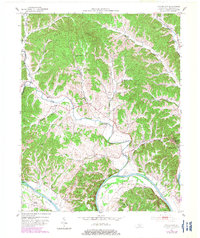
1953 Breeding
Cumberland County, KY
1953 Dubre
Cumberland County, KY
1953 Waterview
Cumberland County, KY
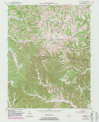
1954 Blacks Ferry
Cumberland County, KY
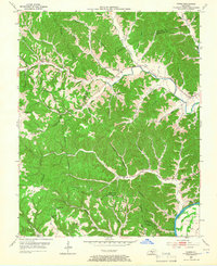
1954 Frogue
Cumberland County, KY
1978 Frogue
Cumberland County, KY
2022 Blacks Ferry
Cumberland County, KY
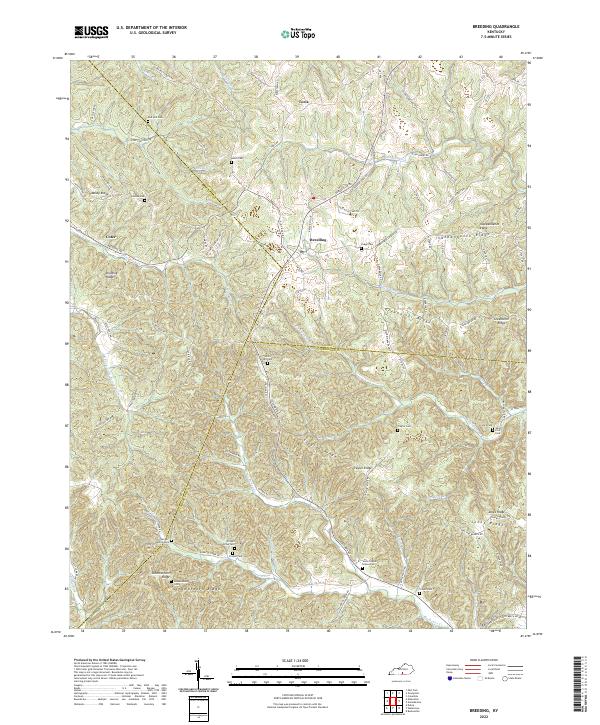
2022 Breeding
Cumberland County, KY
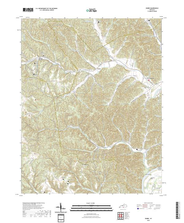
2022 Dubre
Cumberland County, KY
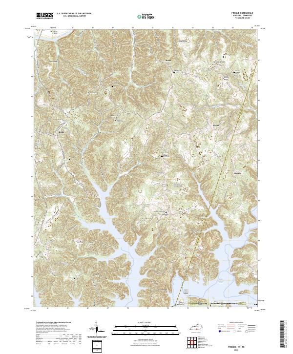
2022 Frogue
Cumberland County, KY
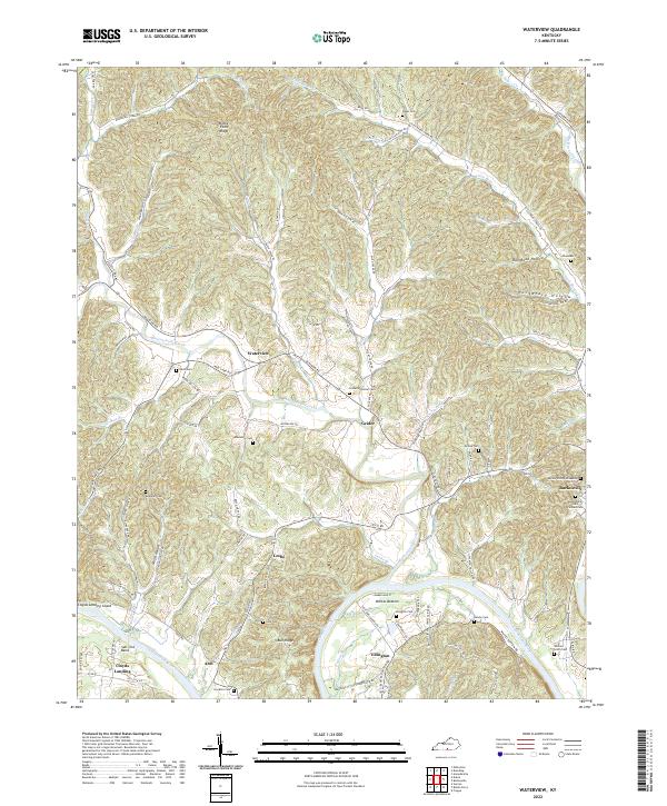
2022 Waterview
Cumberland County, KY