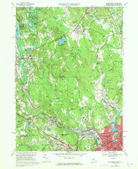
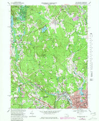
1969 Map of Blackstone
USGS Topo · Published 1971About this map
The Blackstone River carves a deep industrial and historical path through this 1969 study of the Massachusetts and Rhode Island border. The landscape is defined by the dense urban settlement of Woonsocket and its neighboring villages of Waterford and Blackstone, where the Penn Central railroad lines and major arteries like the Uxbridge Road serve a complex network of mills and residential districts. Beyond the river valley, the terrain rises toward several prominent heights, including Chestnut Hill, where the Chestnut Hill Meeting House Cem preserves a link to the area's early settlement. The northern reaches transition into the protected acreage of the Upton State Forest, while localized infrastructure like the Hopedale-Draper Airport and the West Hill Dam highlight the post-war development of Worcester County. This era shows a community balancing its heavy industrial roots with suburban growth and civic institutions, evidenced by the numerous parochial schools and cemeteries like St Pauls Cem and Precious Blood Cem.
Find a feature on this map
134 named features on this map. Tap any name to fly to it.
Don’t see what you’re looking for? This feature index may not catch every label — zoom into the map to look around manually.
Map Details
Editions of this 1969 Blackstone Map
6 editions found
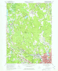
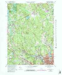
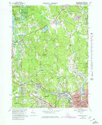
Other maps of this area

1886 · Blackstone
USGS Topo · 1:62,500

1887 · Franklin
USGS Topo · 1:62,500

1887 · Providence
USGS Topo · 1:62,500

1889 · Providence
USGS Topo · 1:62,500

1889 · Blackstone
USGS Topo · 1:62,500

1889 · Franklin
USGS Topo · 1:62,500

1889 · Burrillville
USGS Topo · 1:62,500

1893 · Franklin
USGS Topo · 1:62,500

1893 · Blackstone
USGS Topo · 1:62,500

1894 · Burrillville
USGS Topo · 1:62,500