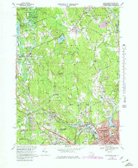
1969 Map of Blackstone
USGS Topo · Published 1979About this map
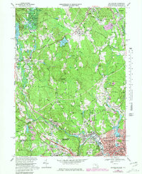
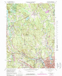
The Blackstone River corridor serves as the industrial and residential spine of this landscape as it appeared in the late 1960s, crossing from Massachusetts into Rhode Island. The densely settled urban center of Woonsocket dominates the southern edge, while northern reaches transition into the preserved woodlands of the Upton State Forest. This survey captures the transition of the region's infrastructure, showing the Conrail rail lines and the Hopedale-Draper Airport alongside older water-power landmarks like Ironstone Reservoir and Rice City Pond. The map is particularly rich for genealogists, detailing numerous community burial grounds including St Pauls Cem, St Stanislaus Cem, and the Bicknell Cem. Small villages like Millville, Wheelockville, and Ironstone are clearly delineated, showing the distribution of schools and local churches that anchored these mill towns before modern suburban expansion.
Find a feature on this map
118 named features on this map. Tap any name to fly to it.
Don’t see what you’re looking for? This feature index may not catch every label — zoom into the map to look around manually.
Map Details
Editions of this 1969 Blackstone Map
6 editions found
Other maps of this area

1886 · Blackstone
USGS Topo · 1:62,500

1887 · Franklin
USGS Topo · 1:62,500

1887 · Providence
USGS Topo · 1:62,500

1889 · Providence
USGS Topo · 1:62,500

1889 · Blackstone
USGS Topo · 1:62,500

1889 · Franklin
USGS Topo · 1:62,500

1889 · Burrillville
USGS Topo · 1:62,500

1893 · Franklin
USGS Topo · 1:62,500

1893 · Blackstone
USGS Topo · 1:62,500

1894 · Burrillville
USGS Topo · 1:62,500