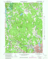
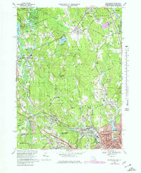
1969 Map of Blackstone
USGS Topo · Published 1981About this map
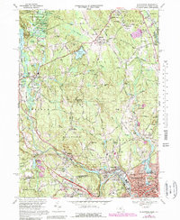
The Blackstone River carves a deep industrial and historical path through this landscape along the border of Massachusetts and Rhode Island. By the late 1960s, the region shows a dense network of mill-era settlements like Millville, Blackstone, and Waterford, where the river's power once drove local economy. Further north, the terrain transitions into the protected woods of Upton State Forest and the rolling heights of Chestnut Hill.
Find a feature on this map
127 named features on this map. Tap any name to fly to it.
Don’t see what you’re looking for? This feature index may not catch every label — zoom into the map to look around manually.
Map Details
Editions of this 1969 Blackstone Map
6 editions found
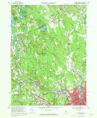
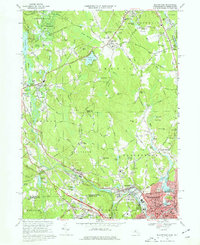
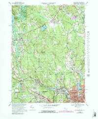
Other maps of this area

1886 · Blackstone
USGS Topo · 1:62,500

1887 · Franklin
USGS Topo · 1:62,500

1887 · Providence
USGS Topo · 1:62,500

1889 · Providence
USGS Topo · 1:62,500

1889 · Blackstone
USGS Topo · 1:62,500

1889 · Franklin
USGS Topo · 1:62,500

1889 · Burrillville
USGS Topo · 1:62,500

1893 · Franklin
USGS Topo · 1:62,500

1893 · Blackstone
USGS Topo · 1:62,500

1894 · Burrillville
USGS Topo · 1:62,500