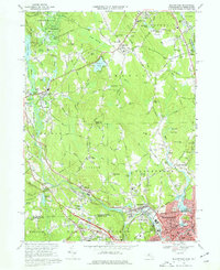
1969 Map of Blackstone
USGS Topo · Published 1977About this map
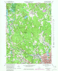
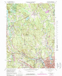
The Blackstone River and Penn Central rail lines anchor this late-1960s industrial and rural landscape, tracing a path through the mill towns and villages of the Blackstone Valley. The map captures a moment of transition where established manufacturing centers like Woonsocket and Millville exist alongside expansive green spaces such as the Upton State Forest. This period shows the persistence of early New England social structures, evidenced by the numerous specialized institutions ranging from the historic Chestnut Hill Meeting House to the many Catholic parochial schools and cemeteries like St Pauls Cem and Precious Blood Cem in the more densely populated southern corridors.
Find a feature on this map
167 named features on this map. Tap any name to fly to it.
Don’t see what you’re looking for? This feature index may not catch every label — zoom into the map to look around manually.
Map Details
Editions of this 1969 Blackstone Map
6 editions found
Other maps of this area

1886 · Blackstone
USGS Topo · 1:62,500

1887 · Franklin
USGS Topo · 1:62,500

1887 · Providence
USGS Topo · 1:62,500

1889 · Providence
USGS Topo · 1:62,500

1889 · Blackstone
USGS Topo · 1:62,500

1889 · Franklin
USGS Topo · 1:62,500

1889 · Burrillville
USGS Topo · 1:62,500

1893 · Franklin
USGS Topo · 1:62,500

1893 · Blackstone
USGS Topo · 1:62,500

1894 · Burrillville
USGS Topo · 1:62,500