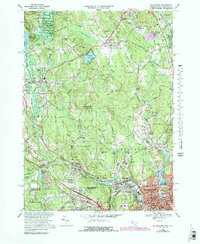
1969 Map of Blackstone
USGS Topo · Published 1979About this map
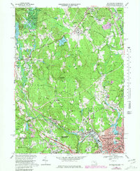
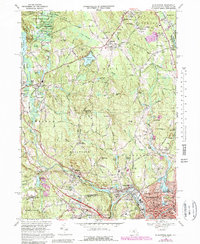
The Blackstone River and Mumford R define the industrial and residential geography of this borderland between Massachusetts and Rhode Island during the late 1960s. The map illustrates a landscape of established mill villages and emerging mid-century infrastructure, such as the Hopedale-Draper Airport and various pipelines. Traditional social centers remain prominent, including the Chestnut Hill Meeting House and Friends Mtg House, alongside newer developments like the Drive-in Theater near Ironstone.
Find a feature on this map
114 named features on this map. Tap any name to fly to it.
Don’t see what you’re looking for? This feature index may not catch every label — zoom into the map to look around manually.
Map Details
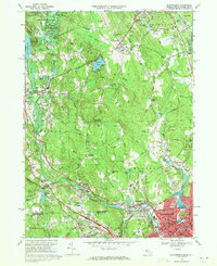
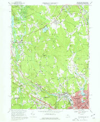
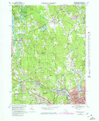
Editions of this 1969 Blackstone Map
6 editions found
Other maps of this area

1886 · Blackstone
USGS Topo · 1:62,500

1887 · Franklin
USGS Topo · 1:62,500

1887 · Providence
USGS Topo · 1:62,500

1889 · Providence
USGS Topo · 1:62,500

1889 · Blackstone
USGS Topo · 1:62,500

1889 · Franklin
USGS Topo · 1:62,500

1889 · Burrillville
USGS Topo · 1:62,500

1893 · Franklin
USGS Topo · 1:62,500

1893 · Blackstone
USGS Topo · 1:62,500

1894 · Burrillville
USGS Topo · 1:62,500