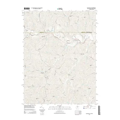
2014 Map of Blacksville
USGS Topo · Published 2014About this map
Dunkard Creek meanders across the border of Pennsylvania and West Virginia, anchoring a landscape defined by deeply incised valleys and numerous family-named landmarks. The Mason Dixon Hwy serves as the primary artery connecting the communities of Blacksville, Pentress, and Worley. This 2014 survey reveals a dense concentration of historical burial sites and small settlements, including Mooresville, Daybrook, and Jakes Run.
Find a feature on this map
128 named features on this map. Tap any name to fly to it.
Don’t see what you’re looking for? This feature index may not catch every label — zoom into the map to look around manually.
Map Details
Editions of this 2014 Blacksville Map
This is the sole edition of this map. No revisions or reprints were ever made.
Other maps of this area

1901 · Waynesburg
USGS Topo · 1:62,500

1904 · Blacksville
USGS Topo · 1:62,500

1904 · Waynesburg
USGS Topo · 1:62,500

1905 · Mannington
USGS Topo · 1:62,500

1905 · Rogersville
USGS Topo · 1:62,500

1923 · Blacksville
USGS Topo · 1:62,500

1923 · Mannington
USGS Topo · 1:62,500

1925 · Blacksville
USGS Topo · 1:62,500

1926 · Mannington
USGS Topo · 1:62,500

1949 · Clarksburg
USGS Topo · 1:250,000