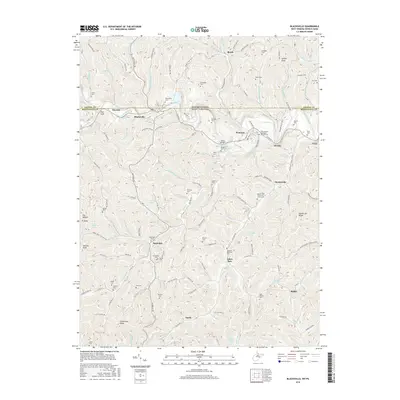
2016 Map of Blacksville
USGS Topo · Published 2016About this map
Dunkard Creek winds through this borderland topography, where the state line between West Virginia and Pennsylvania divides the community of Blacksville from its northern neighbors in Greene County. The 2016 survey illustrates a landscape deeply rooted in family history and traditional rural settlement patterns, particularly along the winding courses of Jakes Run and Daybrook Rd. Genealogists will find a high density of family burial grounds and community landmarks, including the Strosnider Cem, Marshall Cem, and Tennant Memorial Cem. The map highlights the area's physical geography with prominent peaks such as Minnie Knob and Catherines Knob, alongside historically significant transit routes like the Catawba Trail. This modern topographic study serves as a clear record of the enduring villages of Pentress, Mooresville, and Daybrook, which remain centered around their local churches and small-scale creek valleys.
Find a feature on this map
103 named features on this map. Tap any name to fly to it.
Don’t see what you’re looking for? This feature index may not catch every label — zoom into the map to look around manually.
Map Details
Editions of this 2016 Blacksville Map
This is the sole edition of this map. No revisions or reprints were ever made.
Other maps of this area

1901 · Waynesburg
USGS Topo · 1:62,500

1904 · Blacksville
USGS Topo · 1:62,500

1904 · Waynesburg
USGS Topo · 1:62,500

1905 · Mannington
USGS Topo · 1:62,500

1905 · Rogersville
USGS Topo · 1:62,500

1923 · Blacksville
USGS Topo · 1:62,500

1923 · Mannington
USGS Topo · 1:62,500

1925 · Blacksville
USGS Topo · 1:62,500

1926 · Mannington
USGS Topo · 1:62,500

1949 · Clarksburg
USGS Topo · 1:250,000