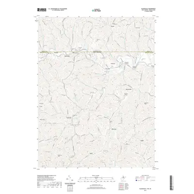
2019 Map of Blacksville
USGS Topo · Published 2019About this map
The West Virginia-Pennsylvania state line divides this landscape, where the town of Blacksville serves as a northern anchor along Dunkard Creek. The terrain is characterized by a dense network of runs and ridges, with settlements like Daybrook, Pentress, and Mooresville situated among the winding valleys. This 2019 survey documents a landscape heavily marked by family and community history, evidenced by an exceptional density of small burial grounds. Genealogists can find numerous sites such as Tennant Cem, Mc Coy Cem, and Wade Cem, alongside local landmarks like Minnie Knob and Catherines Knob. The road system, including the Catawba Trail, follows the natural contours of the land, connecting dispersed communities like Jakes Run and Behler to the larger creek valleys. Springs such as Tom Walker Spring and Husk Spring further highlight the rural infrastructure that has sustained these Monongalia County communities for generations.
Find a feature on this map
143 named features on this map. Tap any name to fly to it.
Don’t see what you’re looking for? This feature index may not catch every label — zoom into the map to look around manually.
Map Details
Editions of this 2019 Blacksville Map
This is the sole edition of this map. No revisions or reprints were ever made.
Other maps of this area

1901 · Waynesburg
USGS Topo · 1:62,500

1904 · Blacksville
USGS Topo · 1:62,500

1904 · Waynesburg
USGS Topo · 1:62,500

1905 · Mannington
USGS Topo · 1:62,500

1905 · Rogersville
USGS Topo · 1:62,500

1923 · Blacksville
USGS Topo · 1:62,500

1923 · Mannington
USGS Topo · 1:62,500

1925 · Blacksville
USGS Topo · 1:62,500

1926 · Mannington
USGS Topo · 1:62,500

1949 · Clarksburg
USGS Topo · 1:250,000